Fifteen Dollars a Day and a Full Tank
It was time to visit Colorado again and get in some spring skiing. A quick three-hour flight out of RDU and I was back in the place we called home for over twenty years — where we raised two wonderful kids in Castle Rock and watched them grow into beautiful, loving, talented adults. I am so proud of them.
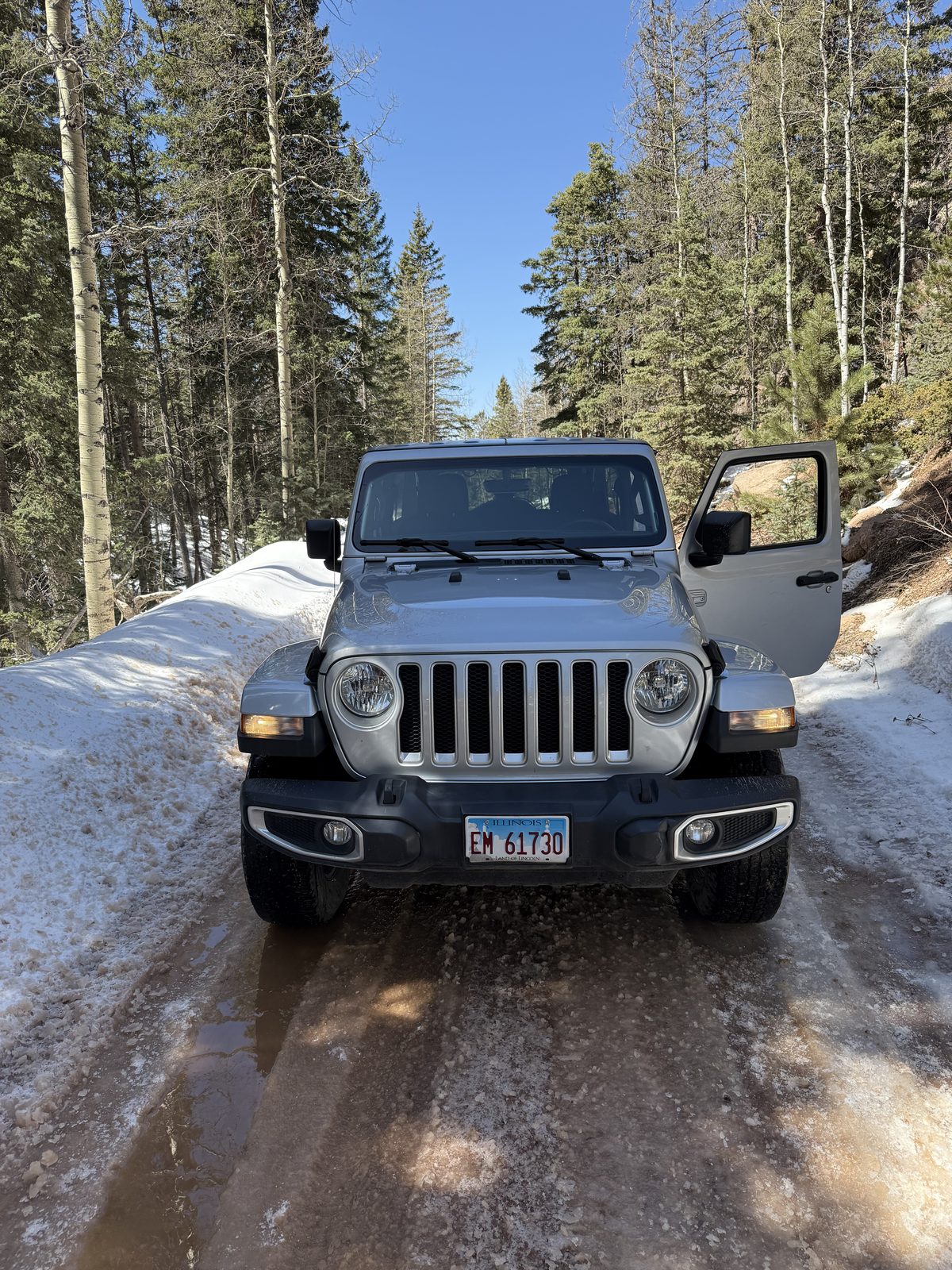
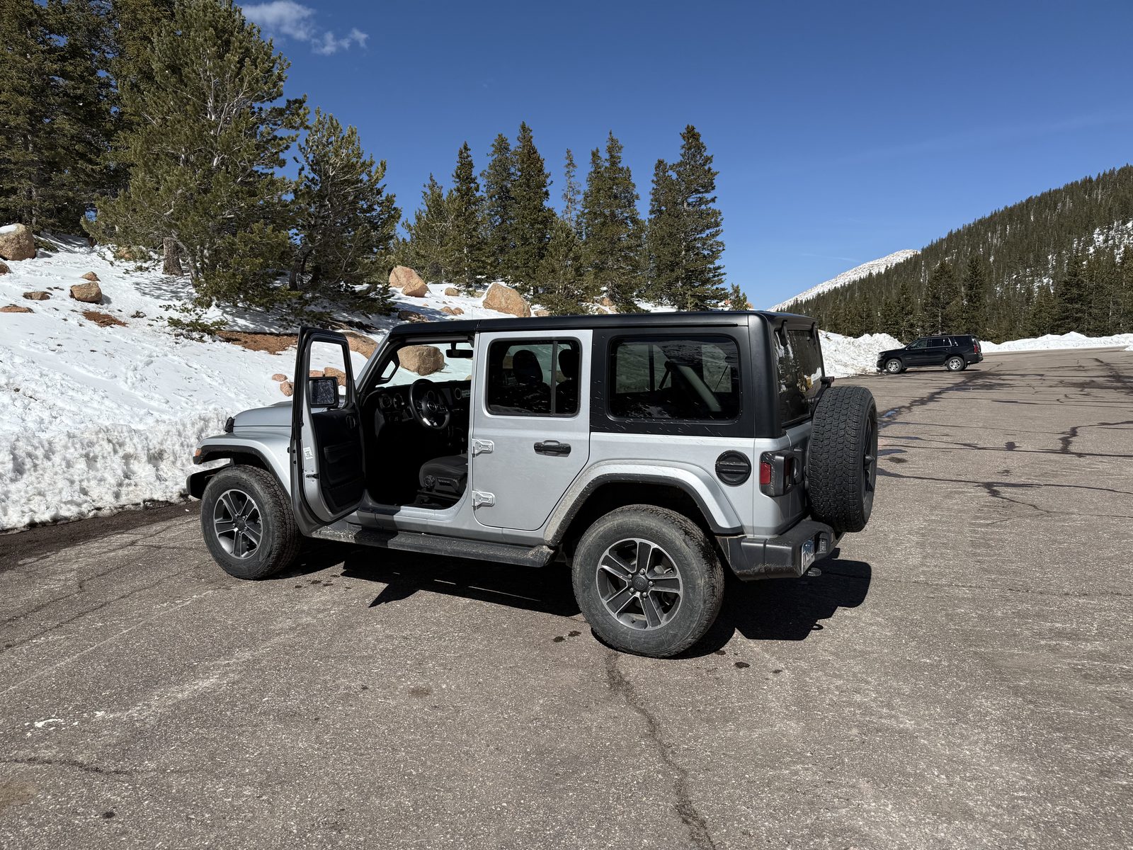
Then the business of catching a rental. I went with a no-name outfit that didn't even have a shuttle stop yet, and it turned out better than any of the big ones: a new Jeep Sahara for fifteen bucks a day. Ready for the mountains, and for any deer standing in the way of them.
I headed straight for Castle Rock — Denver could wait. I remembered the roads and I remembered the drivers, but I do not remember people being this stupid. Oh well. I signed up for the toll surcharge and drove down the middle like everybody else.
The Old Neighborhood, at New Prices
Checked out the old neighborhood and found a nice new steakhouse right next to the hotel. The town has grown — a lot — and everything is so much more expensive than the version of Castle Rock I carry around in my head.
I had the chance to attend Mass at Saint Francis of Assisi, the church whose renovation I helped pay toward back when this was home. It is a beautiful church, sitting up on the side of the rock itself, and it was good to see where the money went.
Every Place I Ever Worked, Mostly Gone
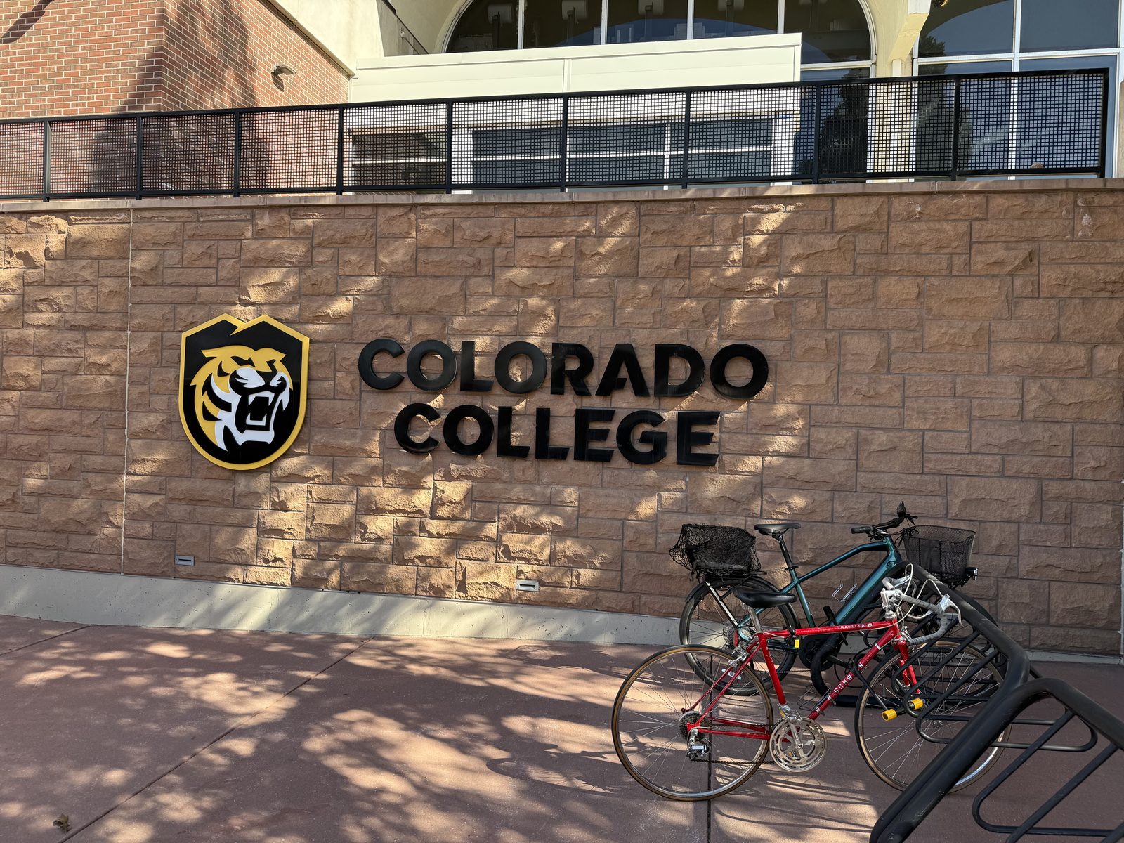
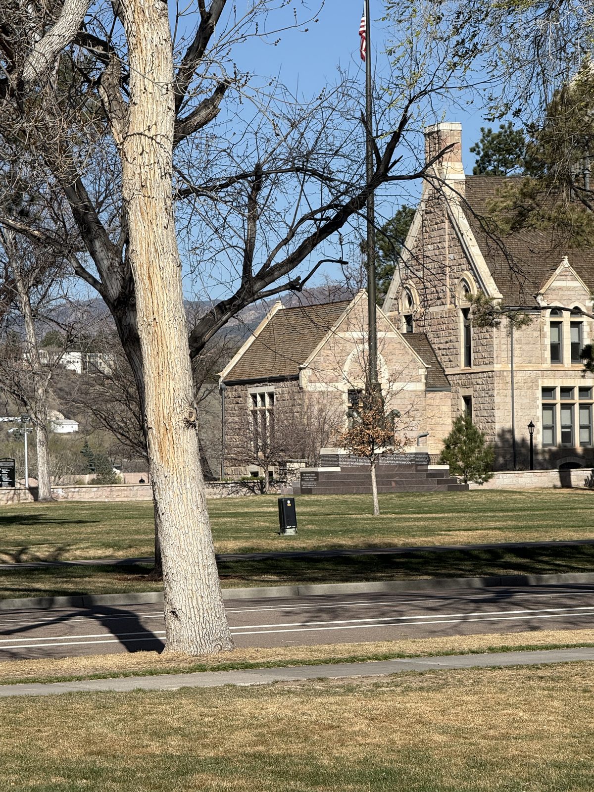
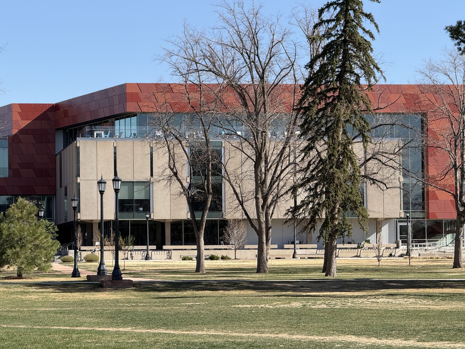
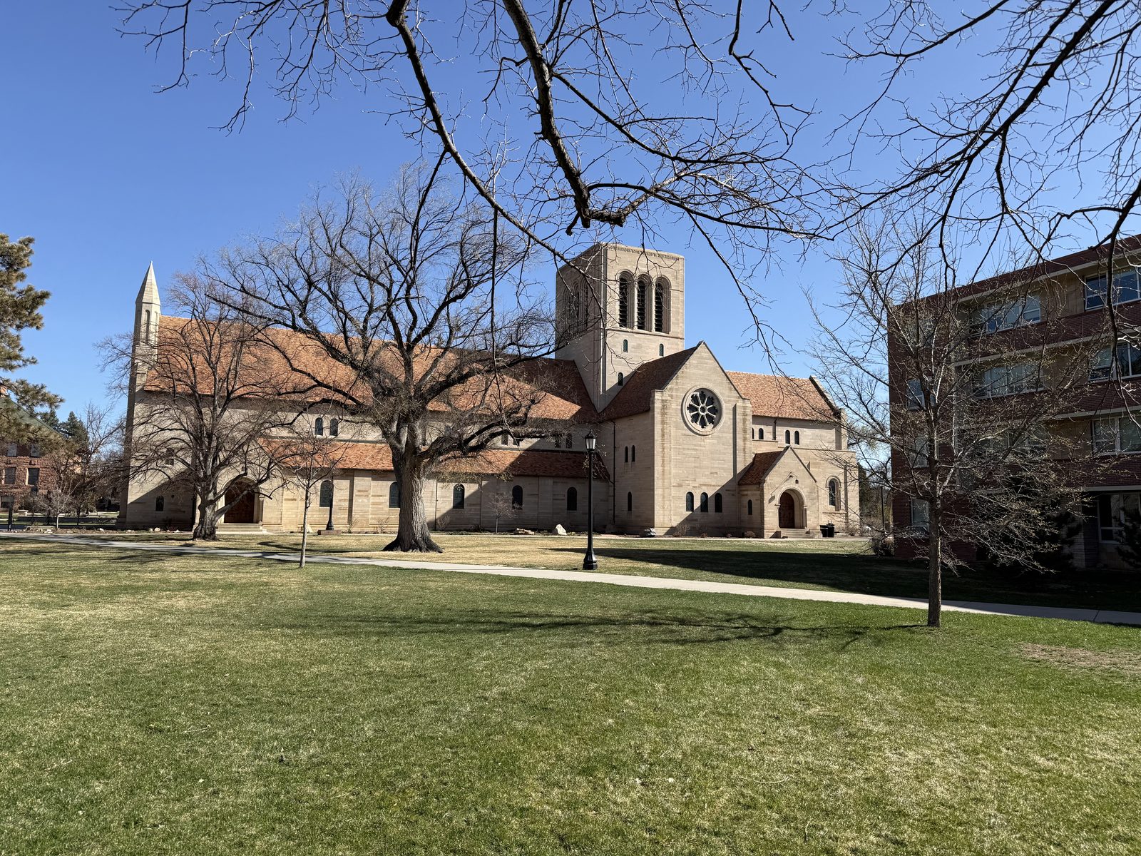
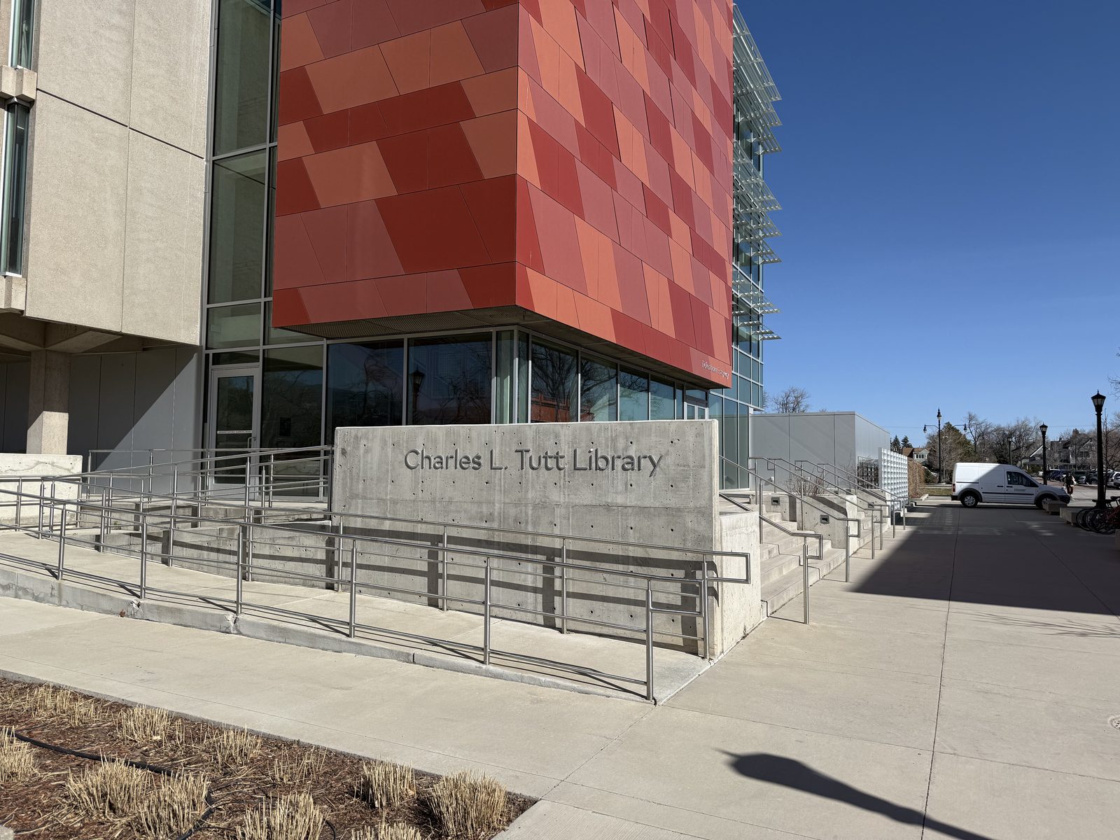
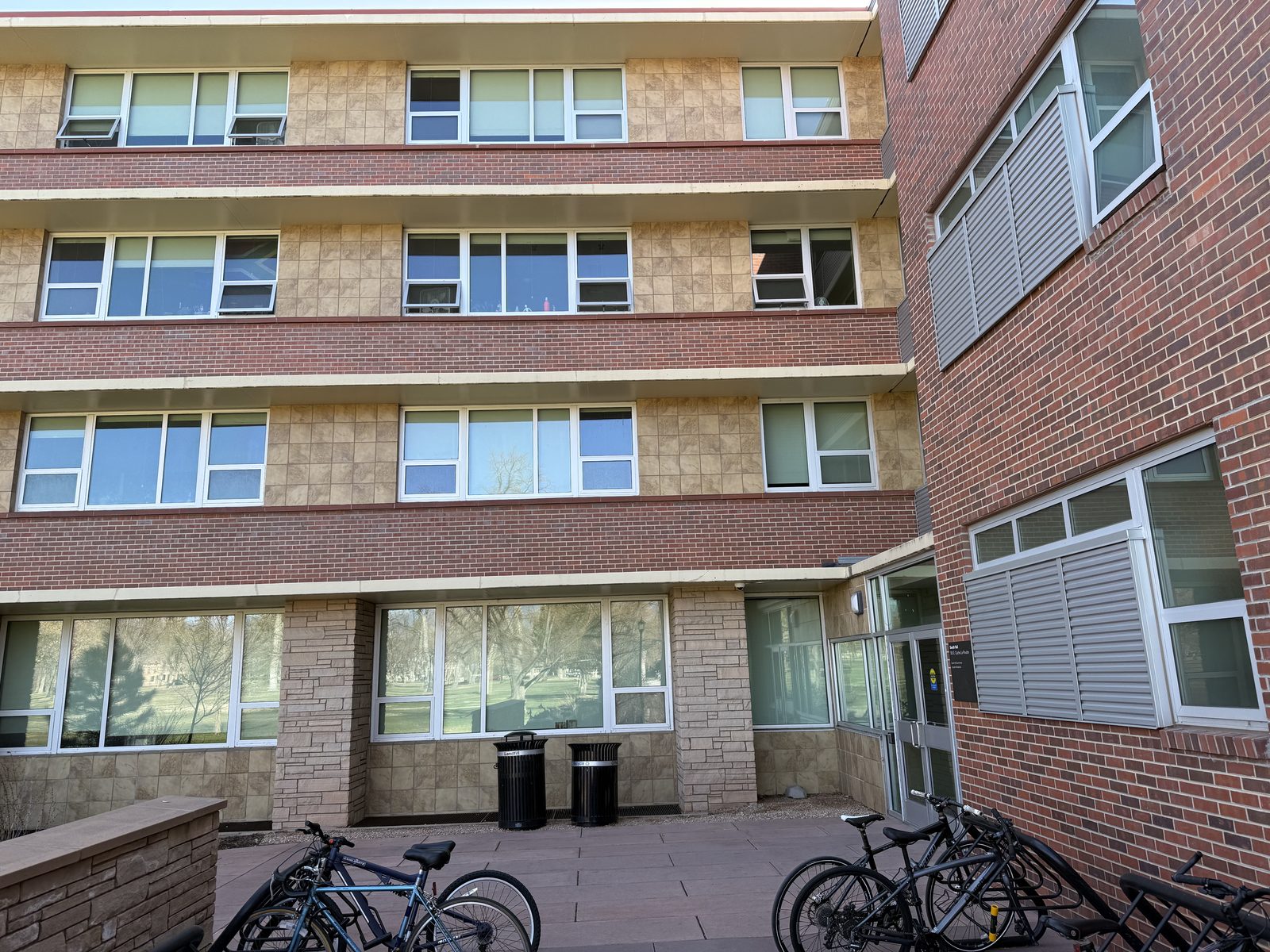
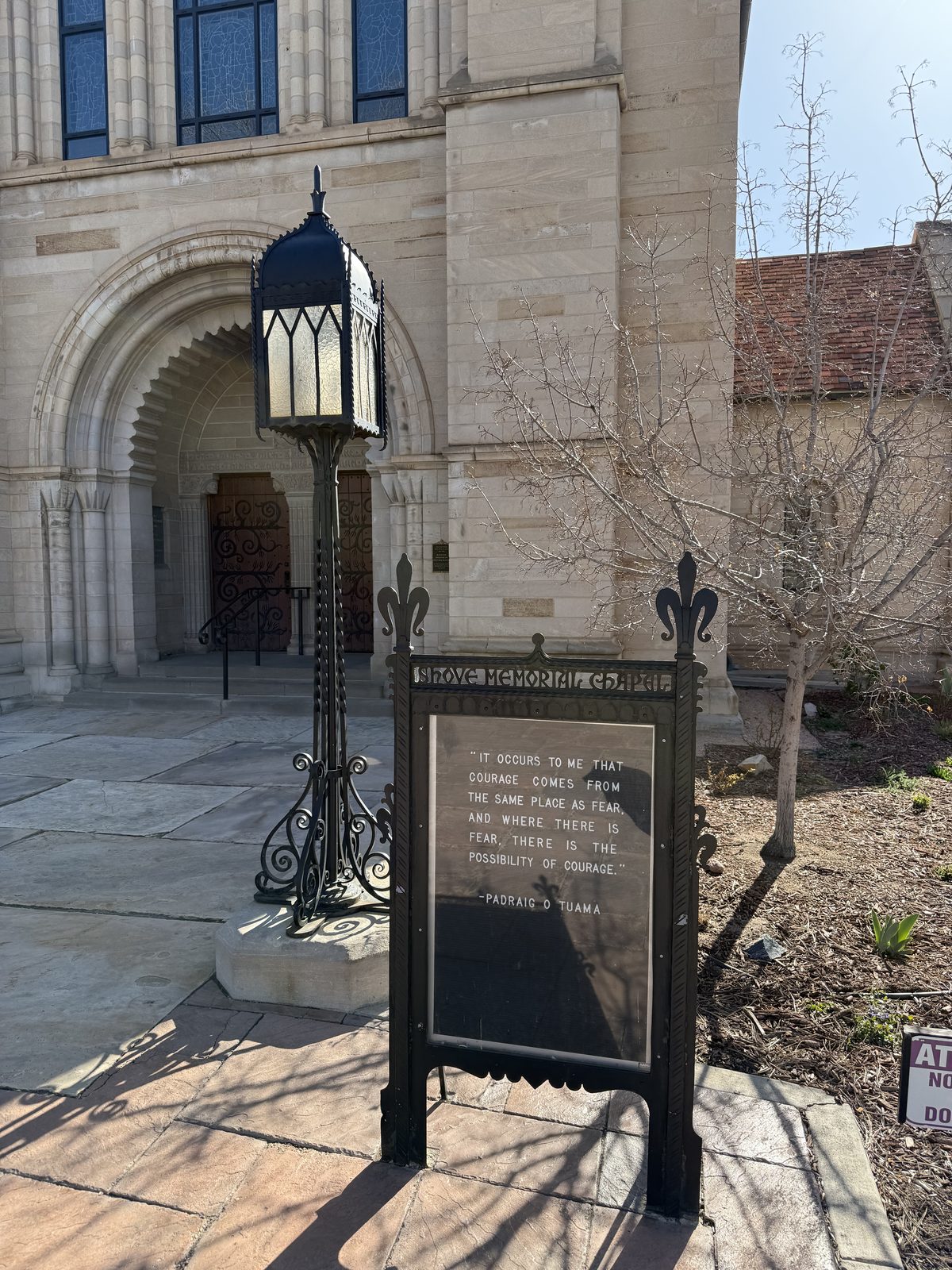
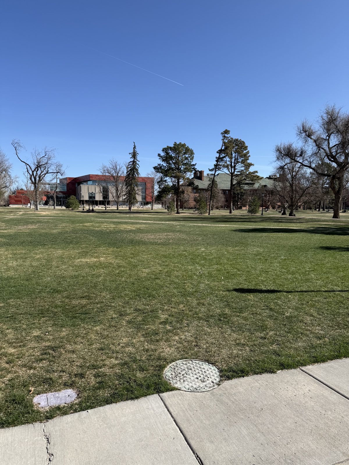
This is where I first went to school — Colorado College, the Harvard of the West, second most expensive private school in the state, and one my parents decided I should end up paying for myself. I had a memorable time walking the campus, stopping by the library and standing outside my old dorm room.
Some of it is exactly where I left it and some of it has been replaced by buildings with a great deal more glass. Both facts land about the same way.
I spent the rest of the morning looking up all the places I worked as a kid: the pool halls, the restaurants, the remains of the IBM and DEC computer operations that used to anchor this town. Most everything is gone now, which is its own kind of information. Then the other Colorado Springs — the one built into the granite. Cheyenne Mountain and the home of NORAD, Space Command — still headquartered here that spring, before the move to Huntsville was announced — sitting on ground where I bought my first house, and the Air Force Academy up at the north end.
Two Tracks and a Lot of Snow
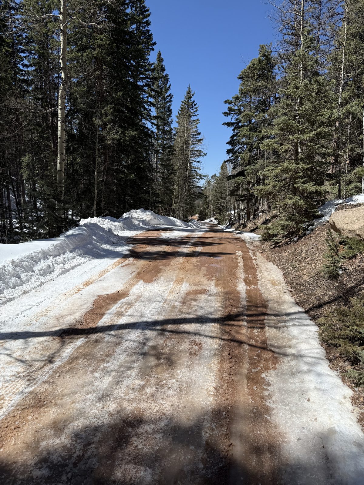
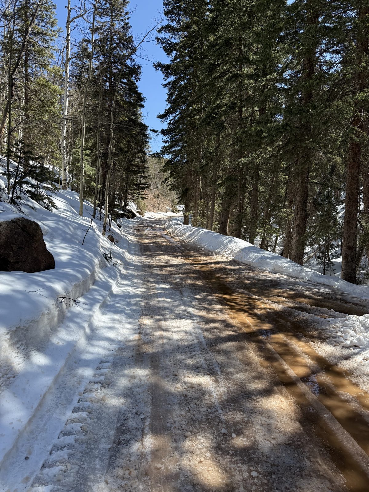
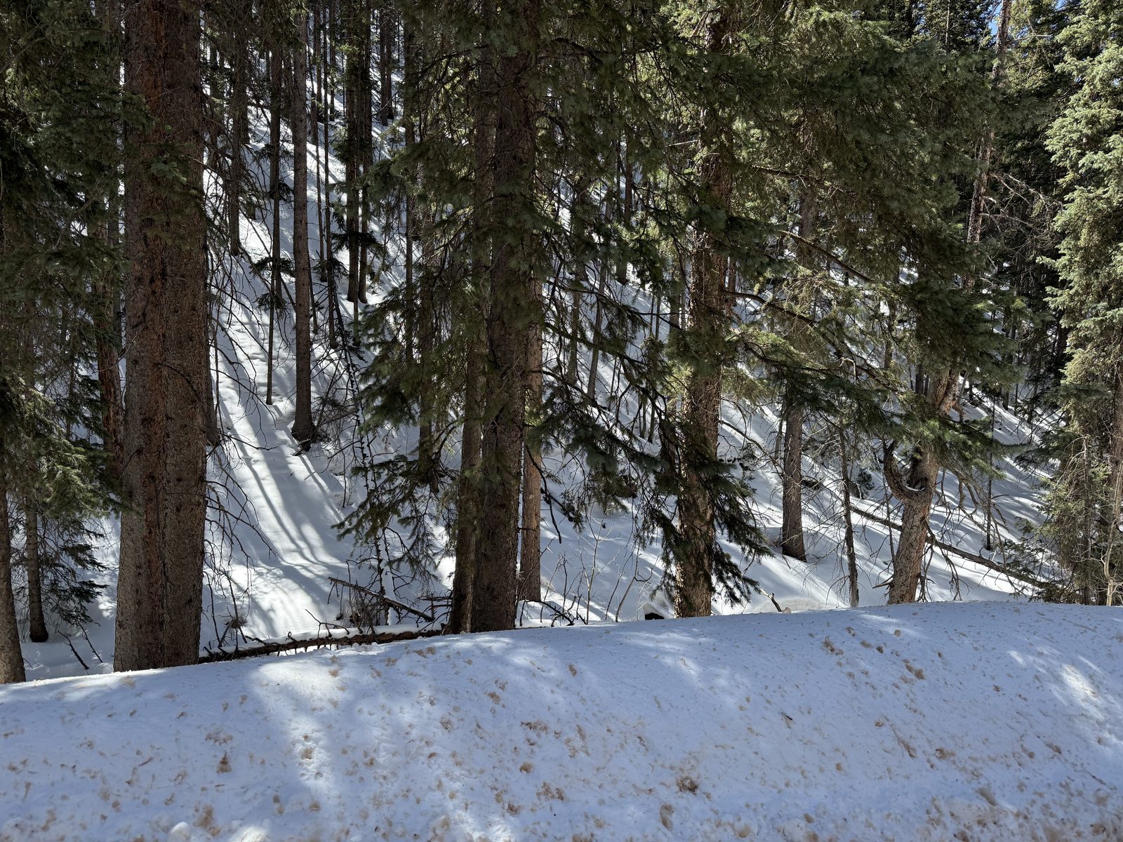
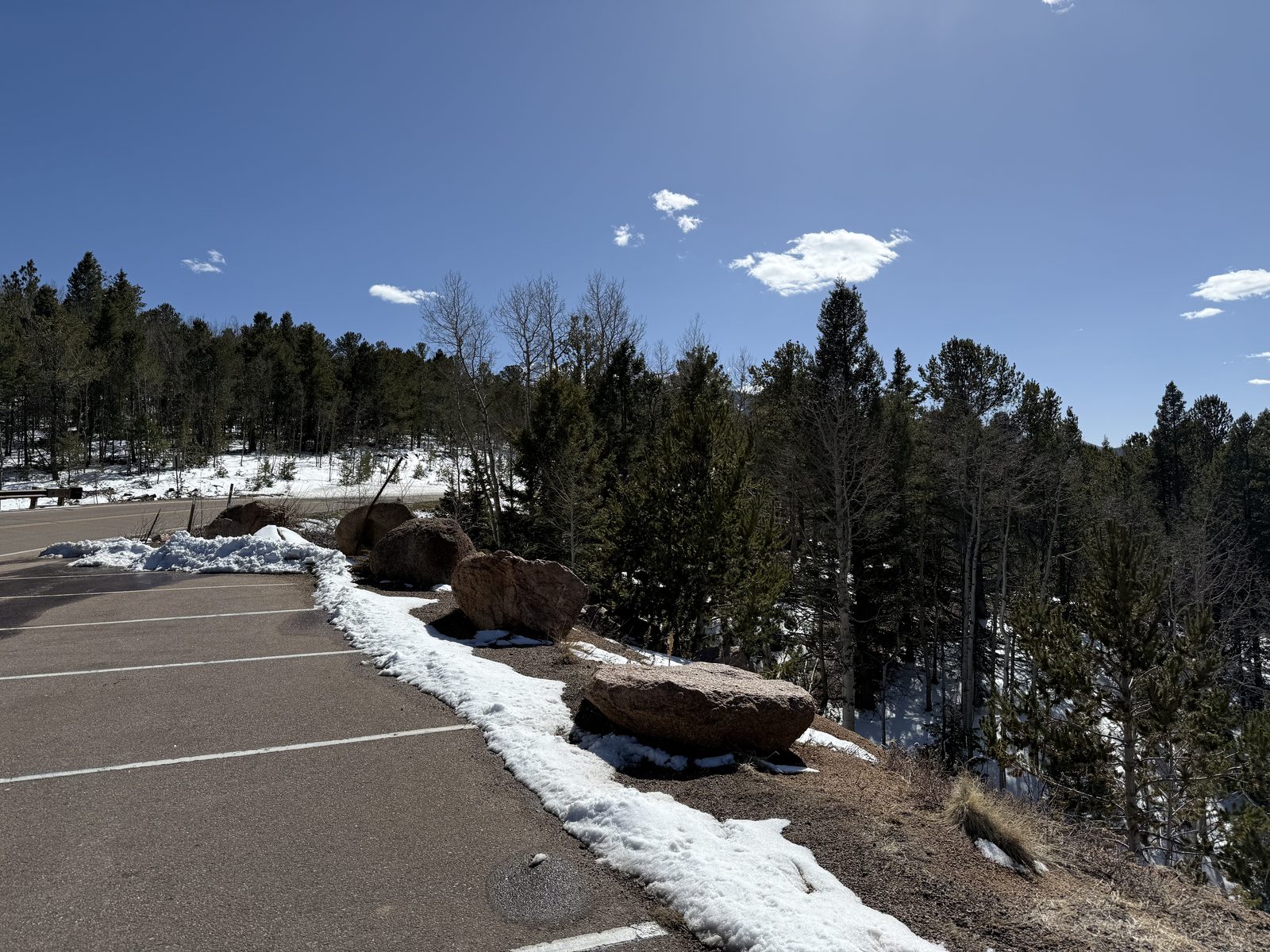
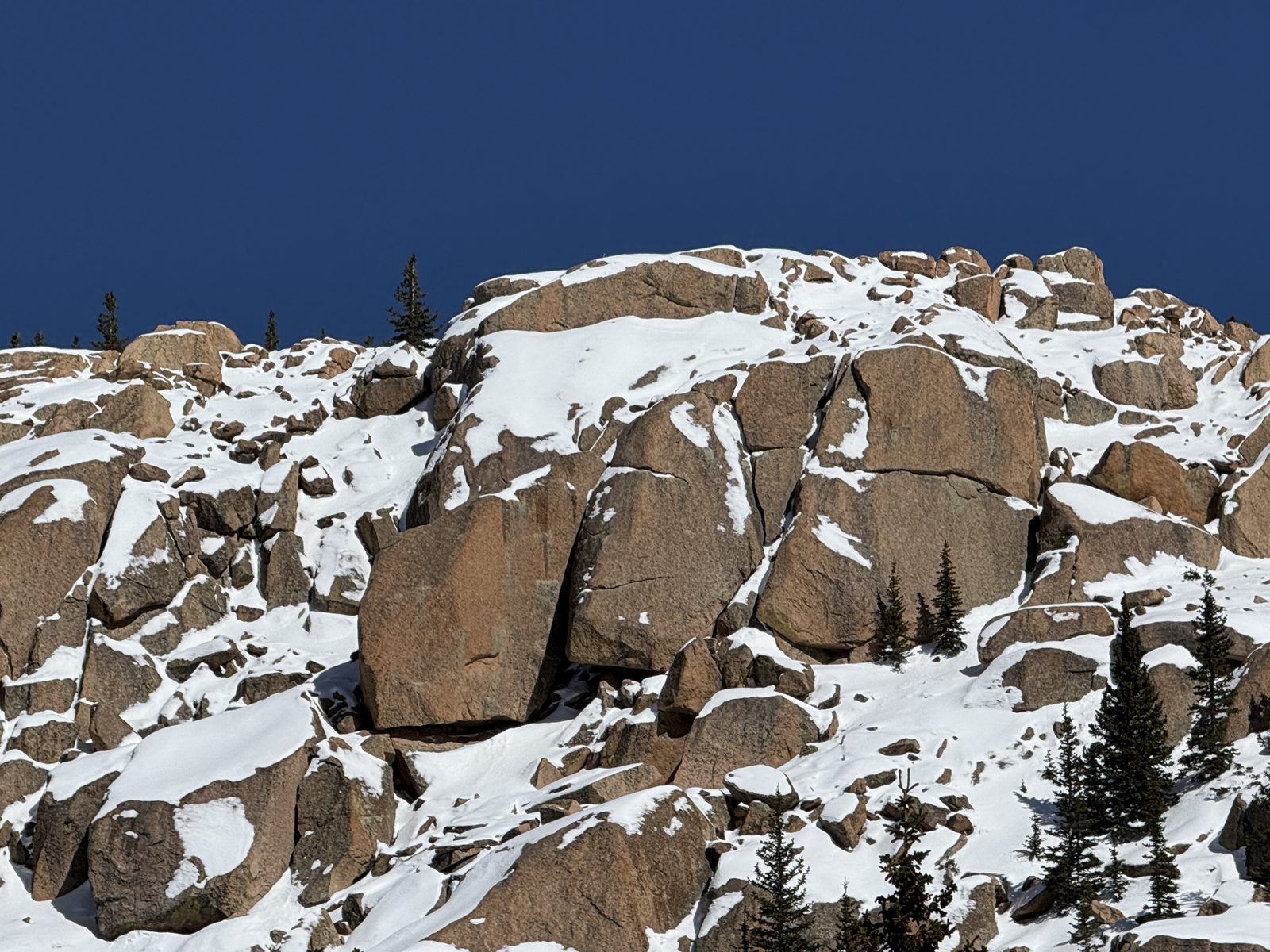
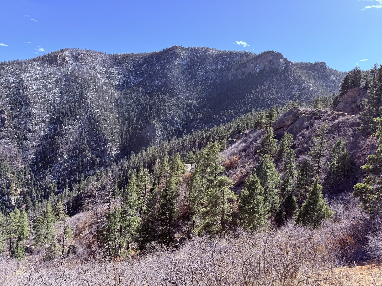
Out of the Springs and up into the hills behind them. April on the Front Range means the plains are brown, the town is in shirtsleeves, and about twenty minutes of climbing puts you back into full winter — packed snow, one plowed lane, and pine shadow across all of it.
This is the stretch that justified the Jeep. Fifteen dollars a day and it earned every one of them.
Cripple Creek — Gold, Then Blackjack
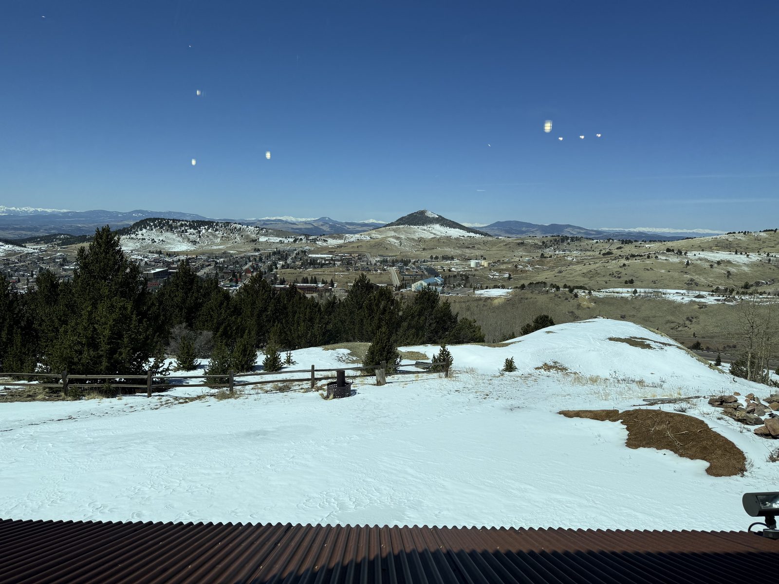
Over the back of the mountain and down into Cripple Creek, sitting at about 9,494 feet on the southwest flank of Pikes Peak. This was one of the last great gold camps in the American West: the 1890 strike turned a cow pasture into a district that produced more than twenty million ounces of gold and, at its peak, held some fifty thousand people, with its own opera house and its own stock exchange.
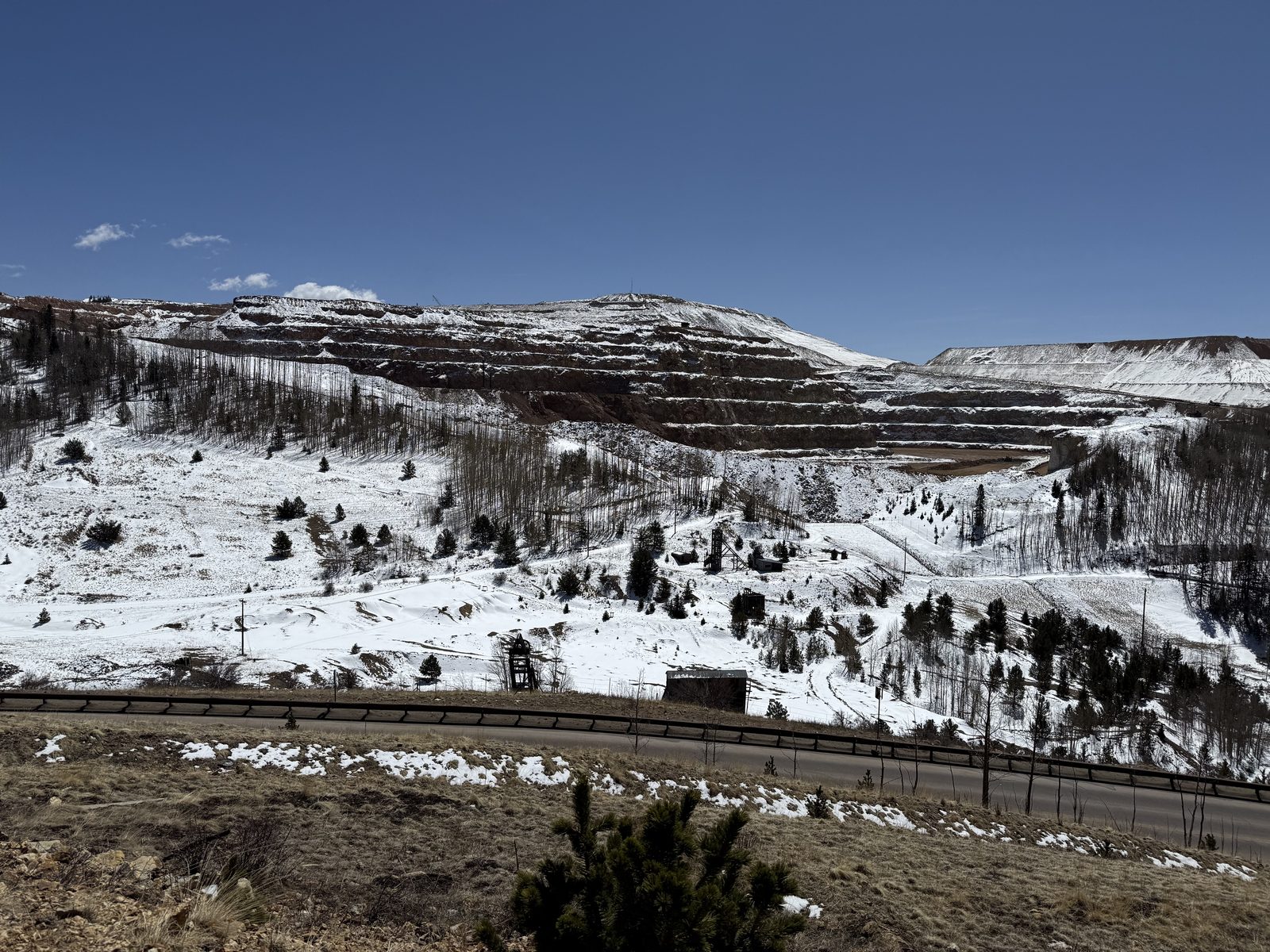
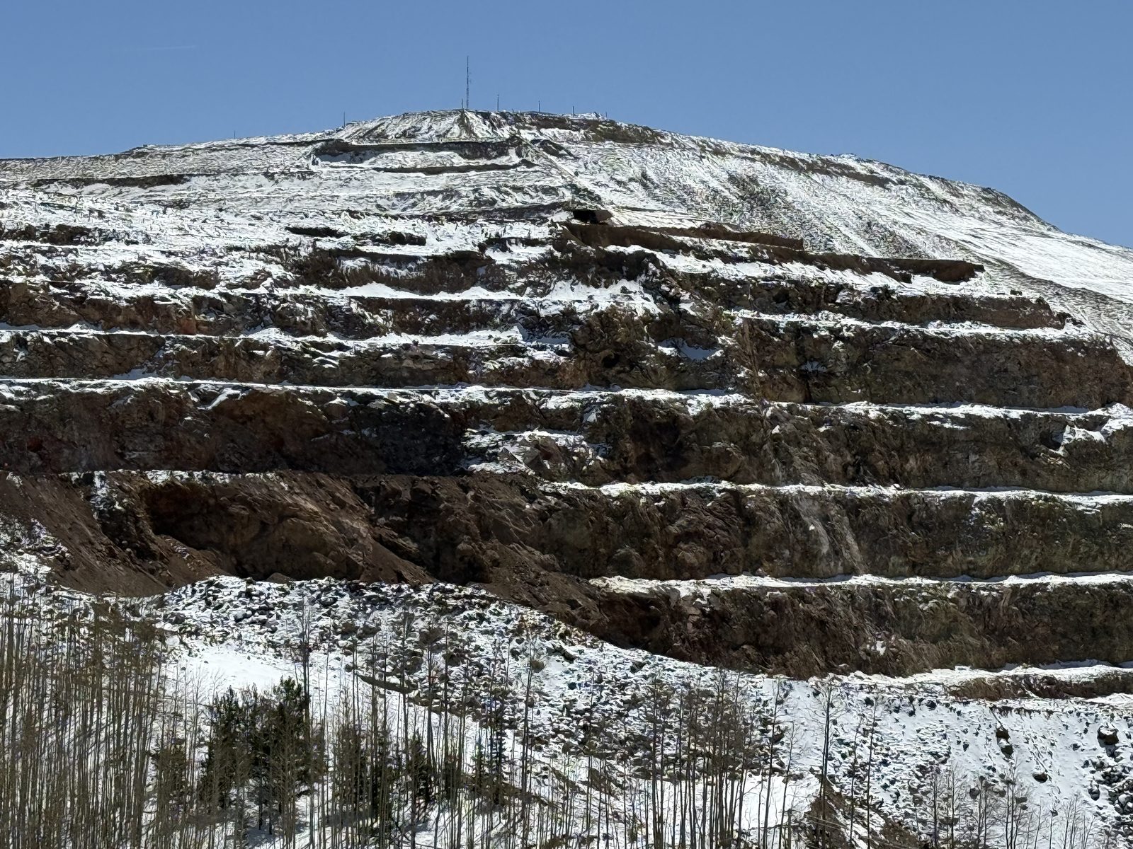
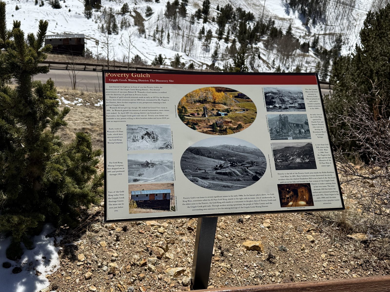
You see the scale of it before you see the town. The hills on the way in are cut into benches — a working open-pit operation stepped down the mountainside, with the old headframes and the tailings of the original underground workings scattered around it. Poverty Gulch, where the first strike was made, has an interpretive sign now. The gulch itself looks like nothing at all, which is generally how these stories start.
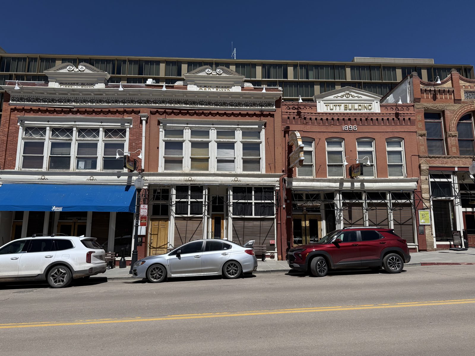
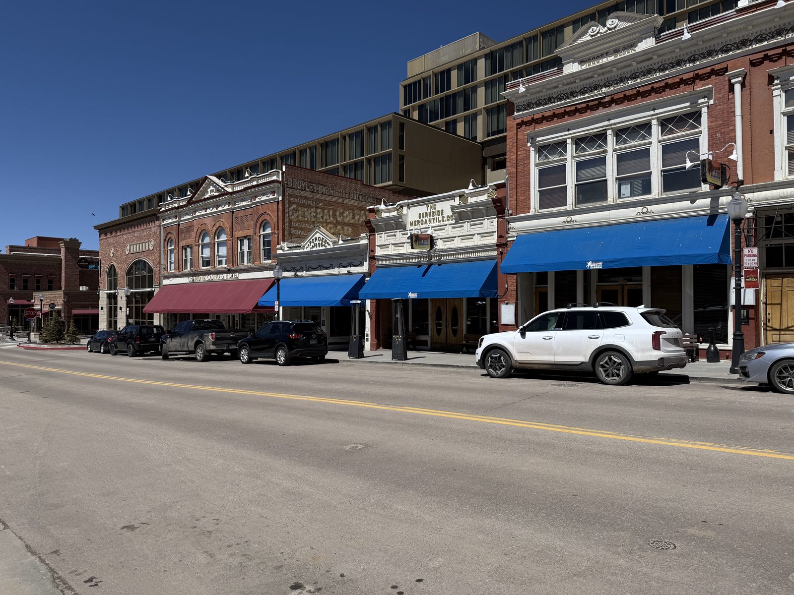
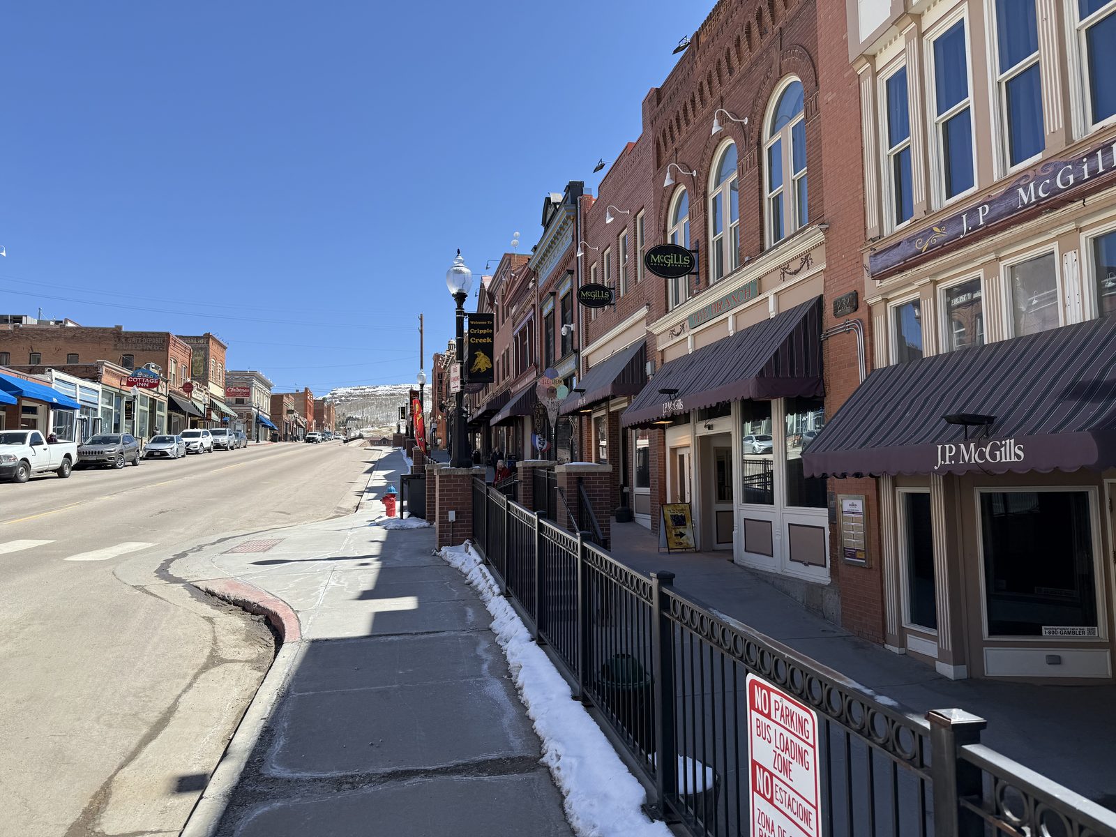
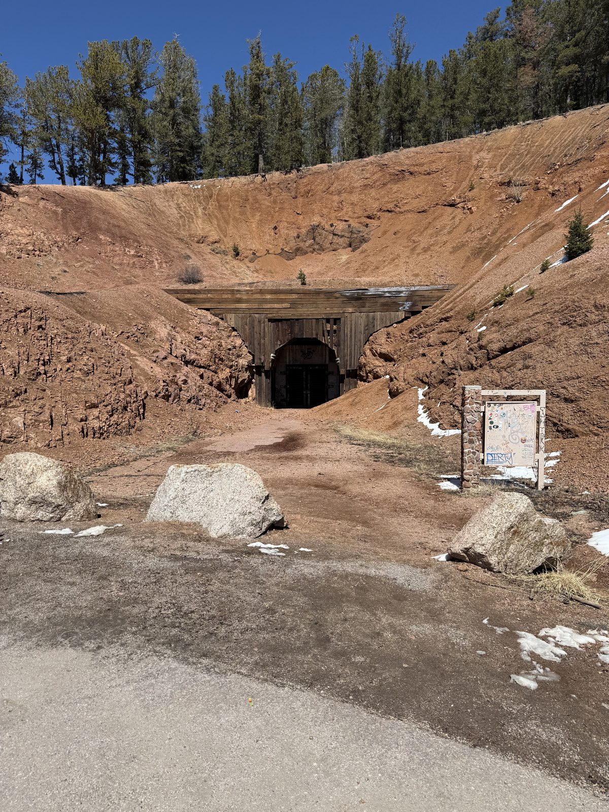
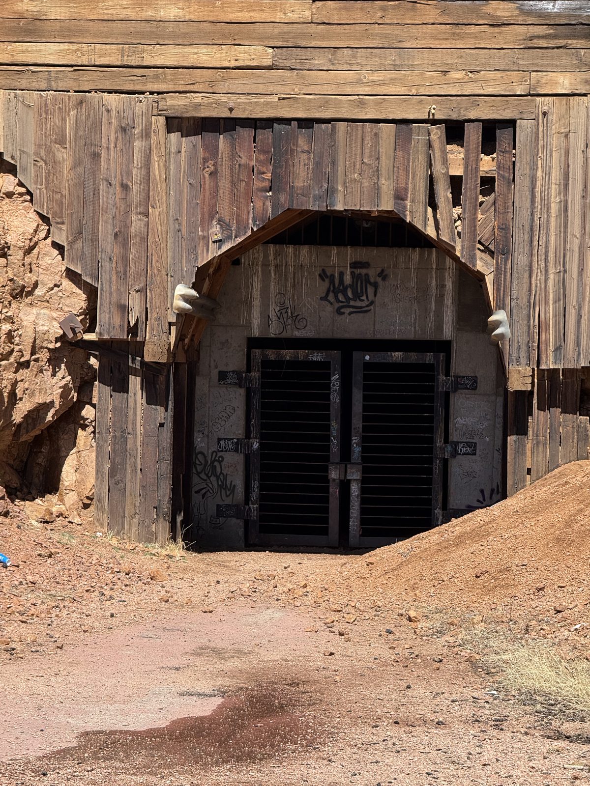
The bust was as thorough as the boom. What kept Cripple Creek standing was a 1991 vote legalizing limited-stakes gambling, so the Victorian brick storefronts on Bennett Avenue now house slot machines instead of assay offices — same buildings, same awnings, entirely different business. Off the main street the old portals are still there in the hillside, timbered and gated and going nowhere.
America's Mountain
Pikes Peak tops out at 14,115 feet and it is the rare fourteener you can reach without earning it on foot — nineteen miles of switchbacks on the Pikes Peak Highway, or the cog railway out of Manitou Springs, which climbs on a rack rail and reopened in 2021 after a full rebuild.
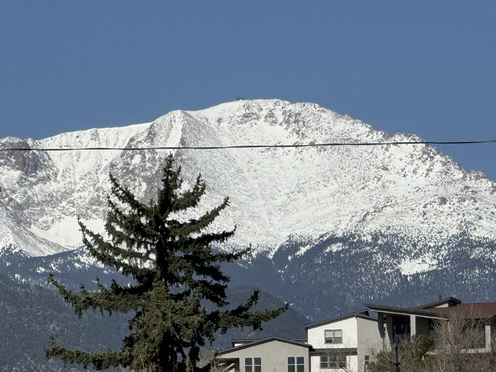
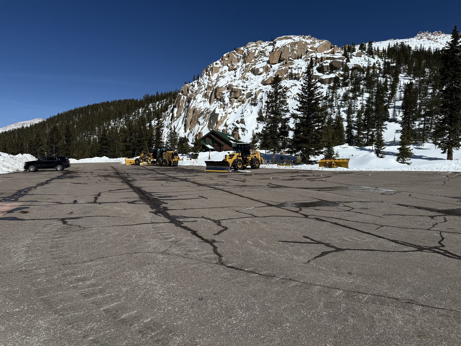
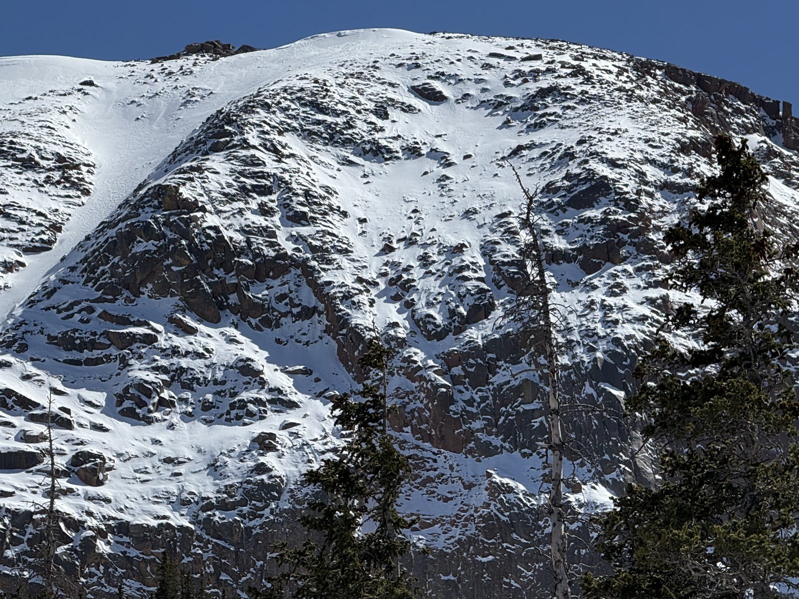
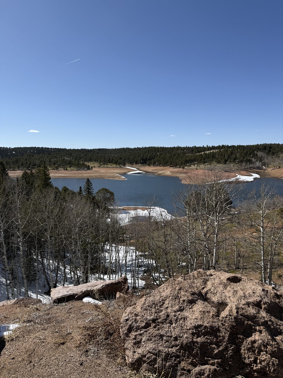
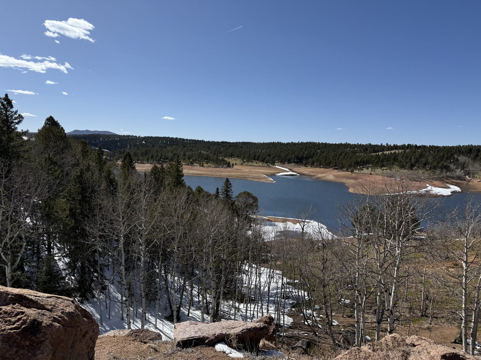
In April the mountain is still deep in winter whatever the calendar says down in the Springs. The reservoirs partway up were half ice and half meltwater, the road was clear and the shoulders were not, and the summit dome above the treeline was as white as it gets.
This is the view that produced America the Beautiful — Katharine Lee Bates wrote the poem after coming up here in 1893. On a clear day the plains run flat and brown to the east until they simply stop being visible.
Passage from Prairie to High Plains
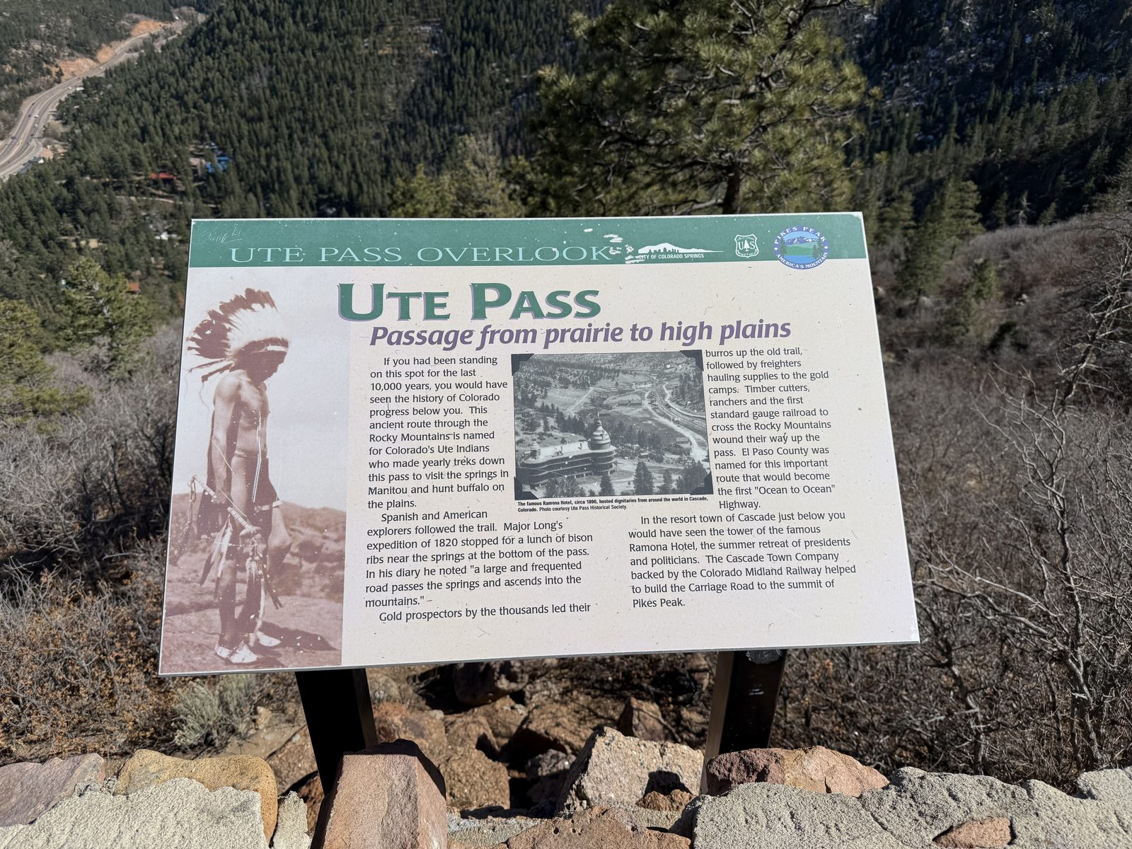
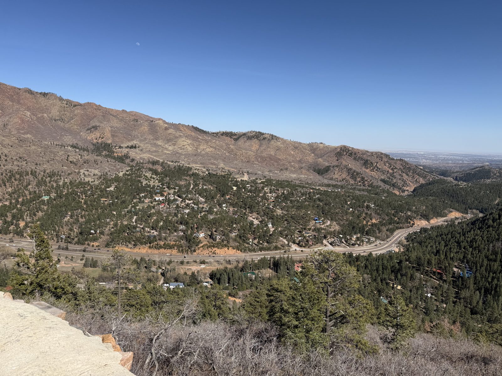
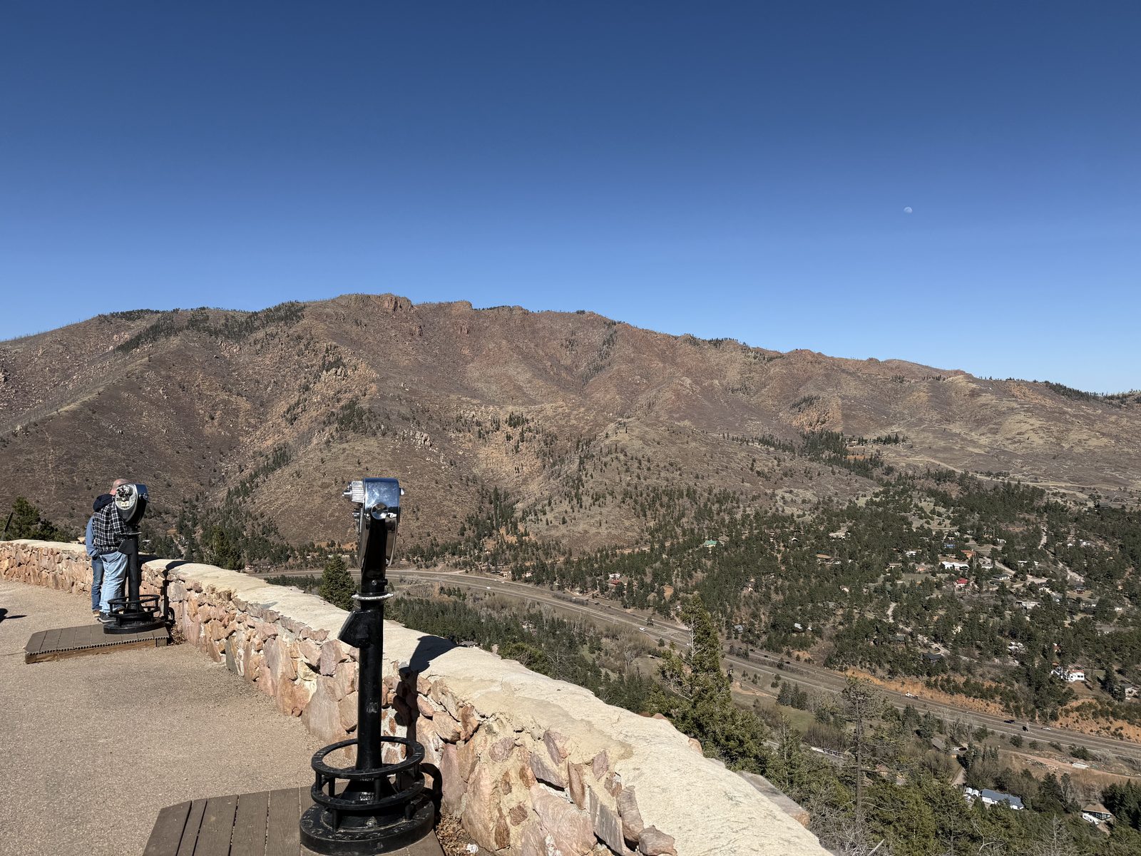
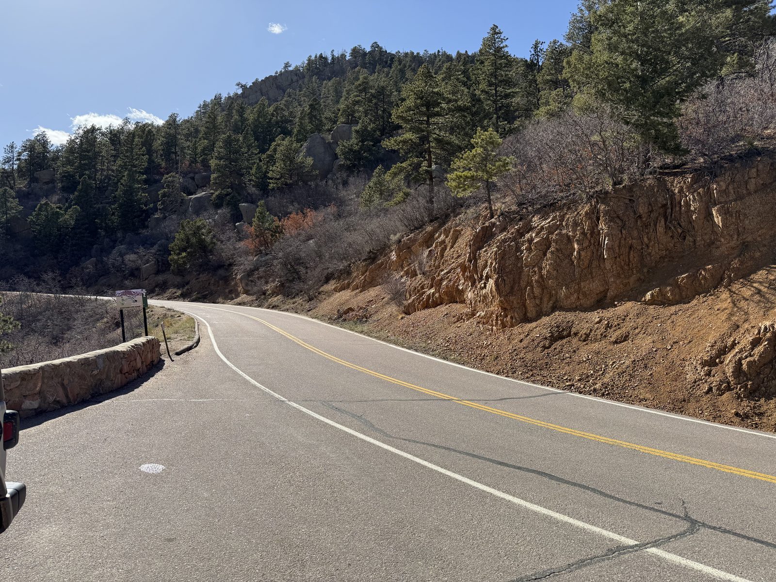
Back down the west side and onto Ute Pass, the canyon route that US 24 follows out of the mountains and into Colorado Springs. The overlook sign puts it plainly — this is the passage from prairie to high plains, and it was a Ute travel route — and a buffalo trail before that — for a very long time before it was a highway. The Ute name for it translates roughly as the doorway to the red earth mountains, which is a better piece of writing than anything on the sign.
The pass drops into Manitou Springs, a town that exists because of what comes out of the ground here: naturally carbonated mineral springs the Ute held sacred long before the Victorians decided the water could cure them and built a resort around it. There are public fountains through town, you are meant to drink from them, and a couple of them taste actively terrible. The base of the Manitou Incline is here too — 2,744 railroad ties climbing roughly 2,000 vertical feet in under a mile. I looked at it.
Sandstone, Stood on End
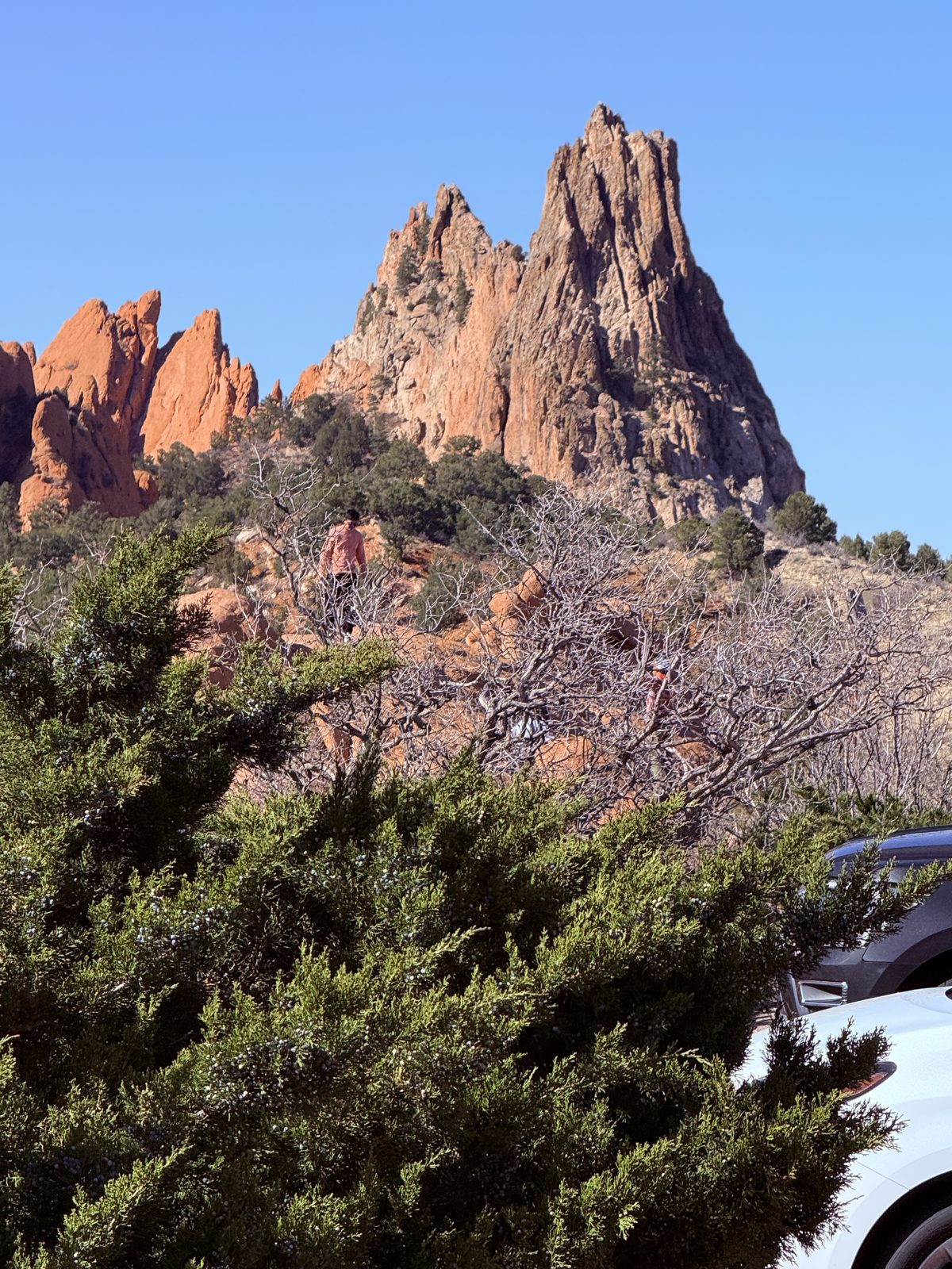
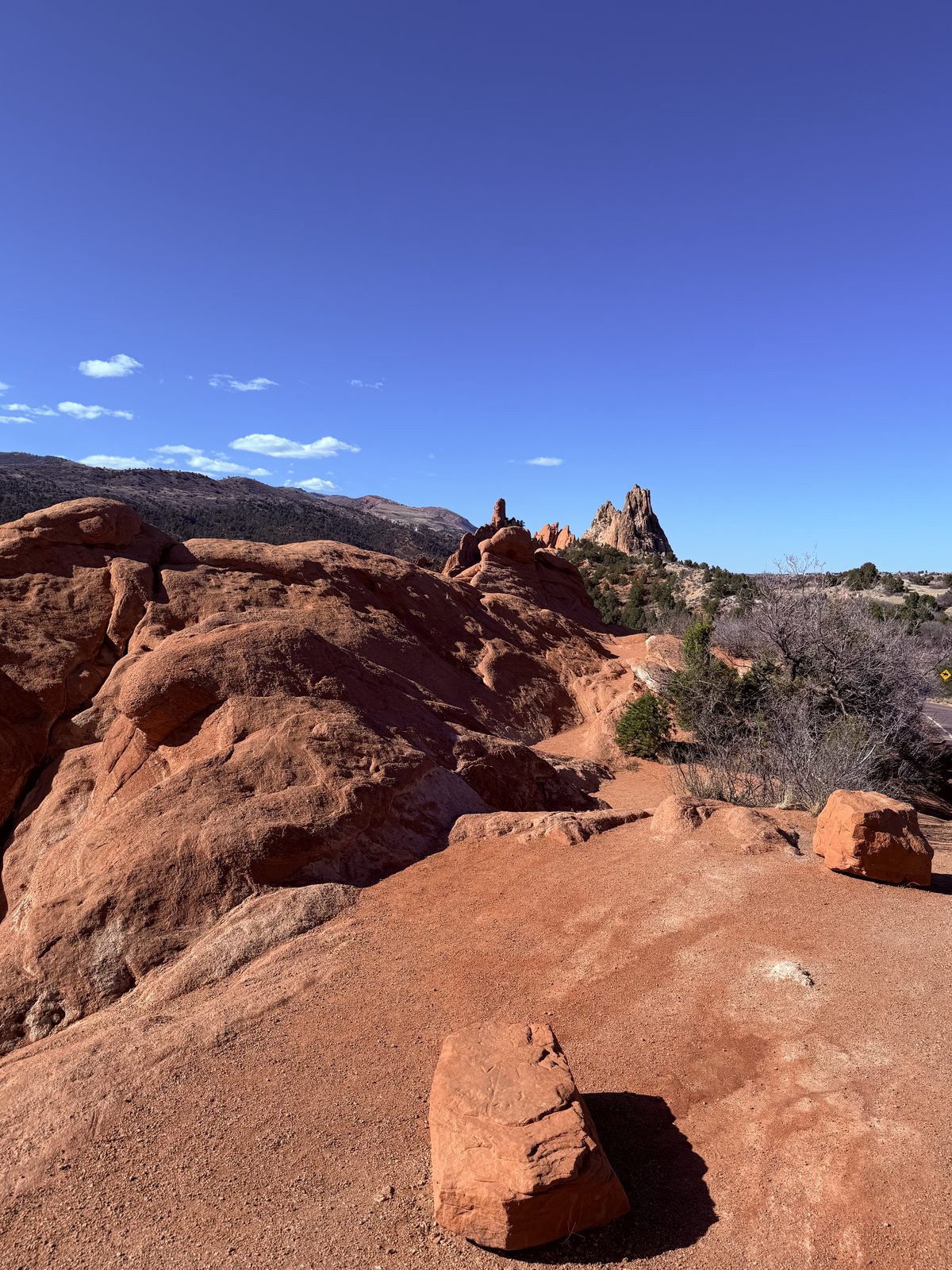
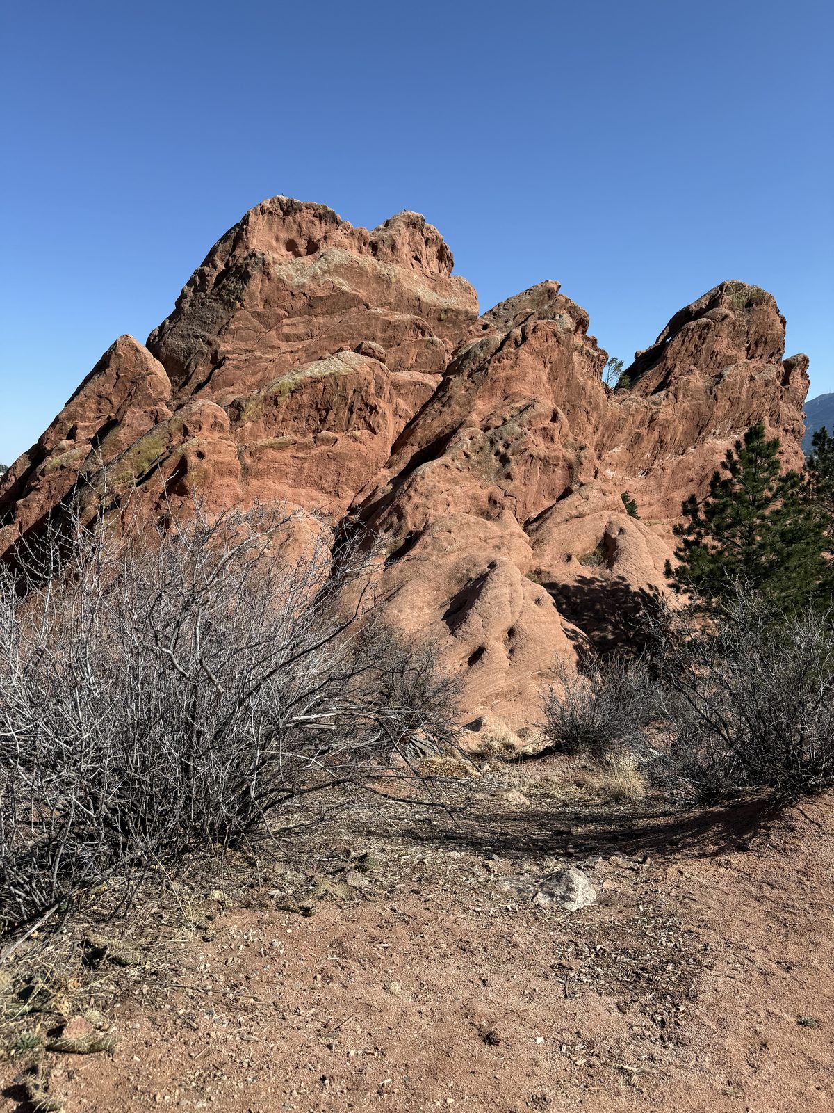
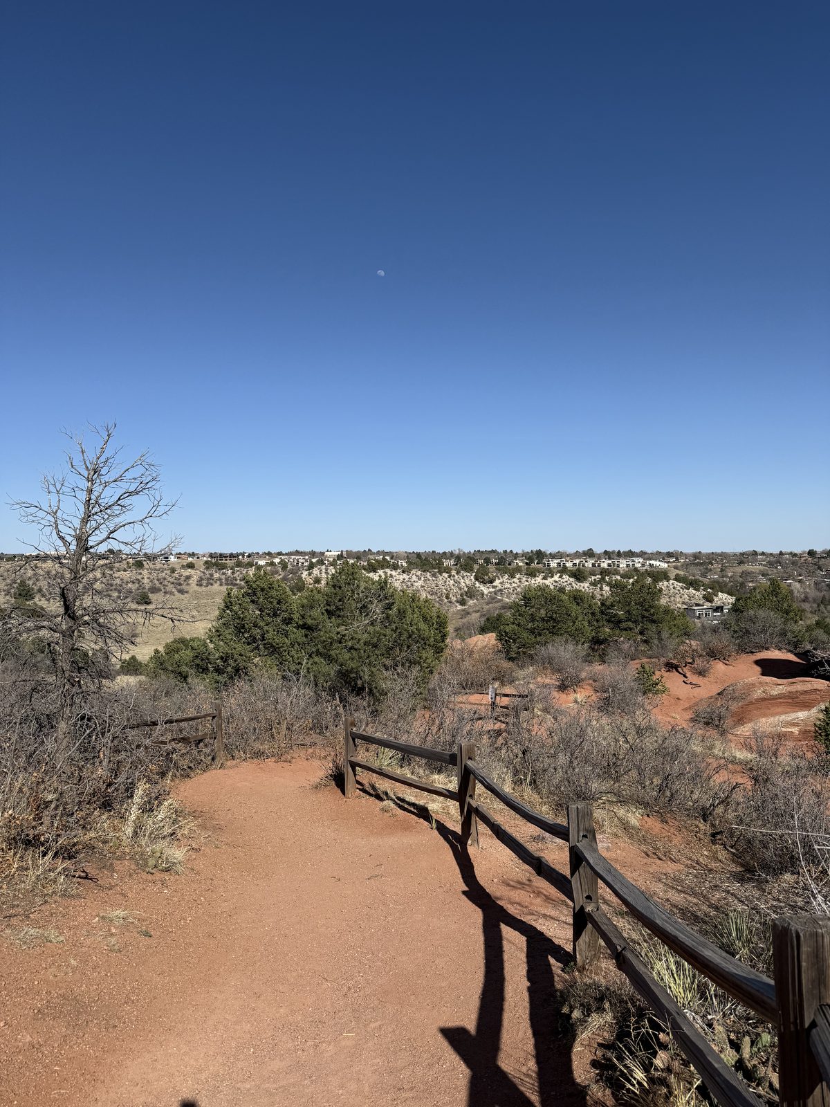
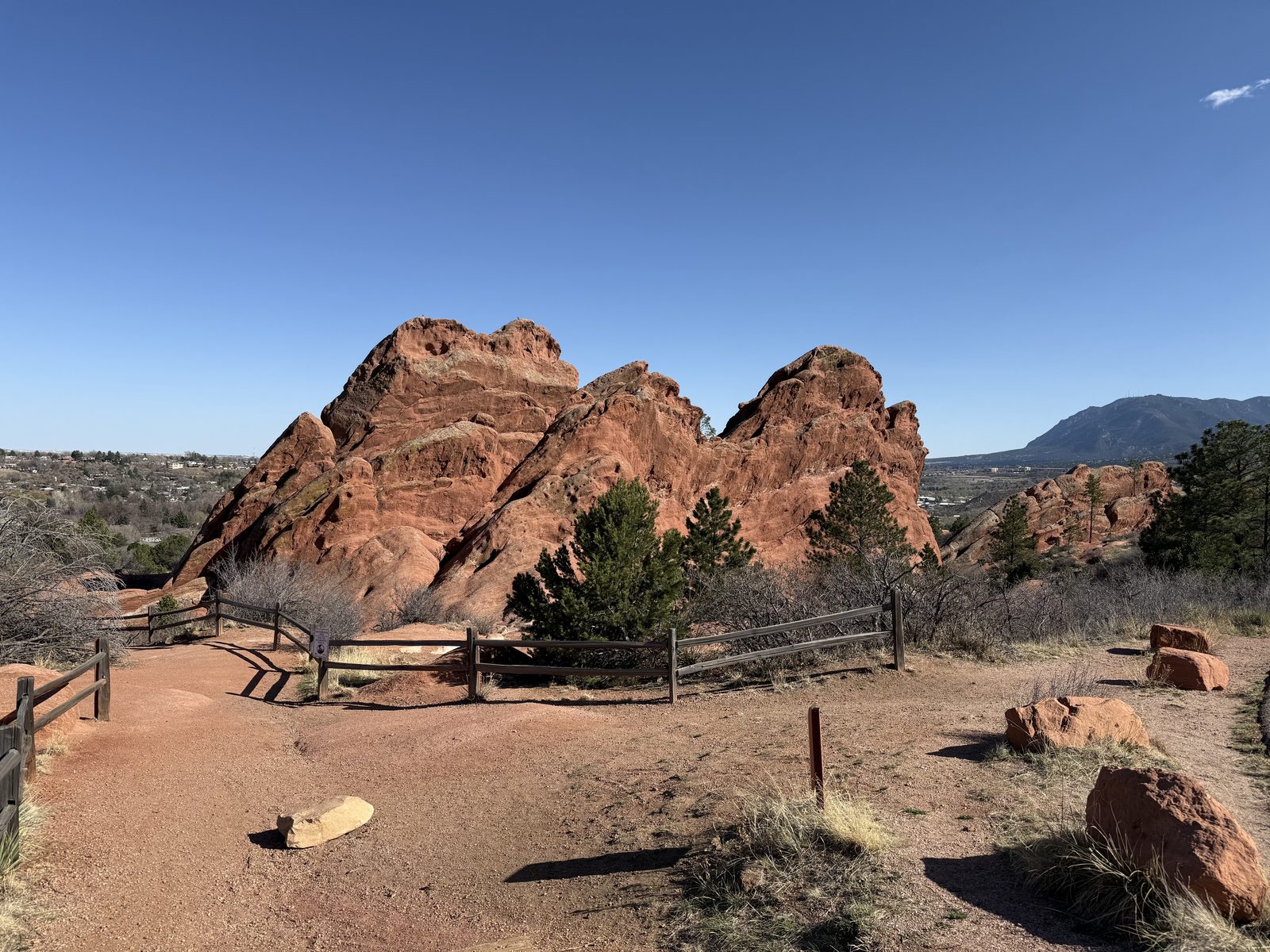
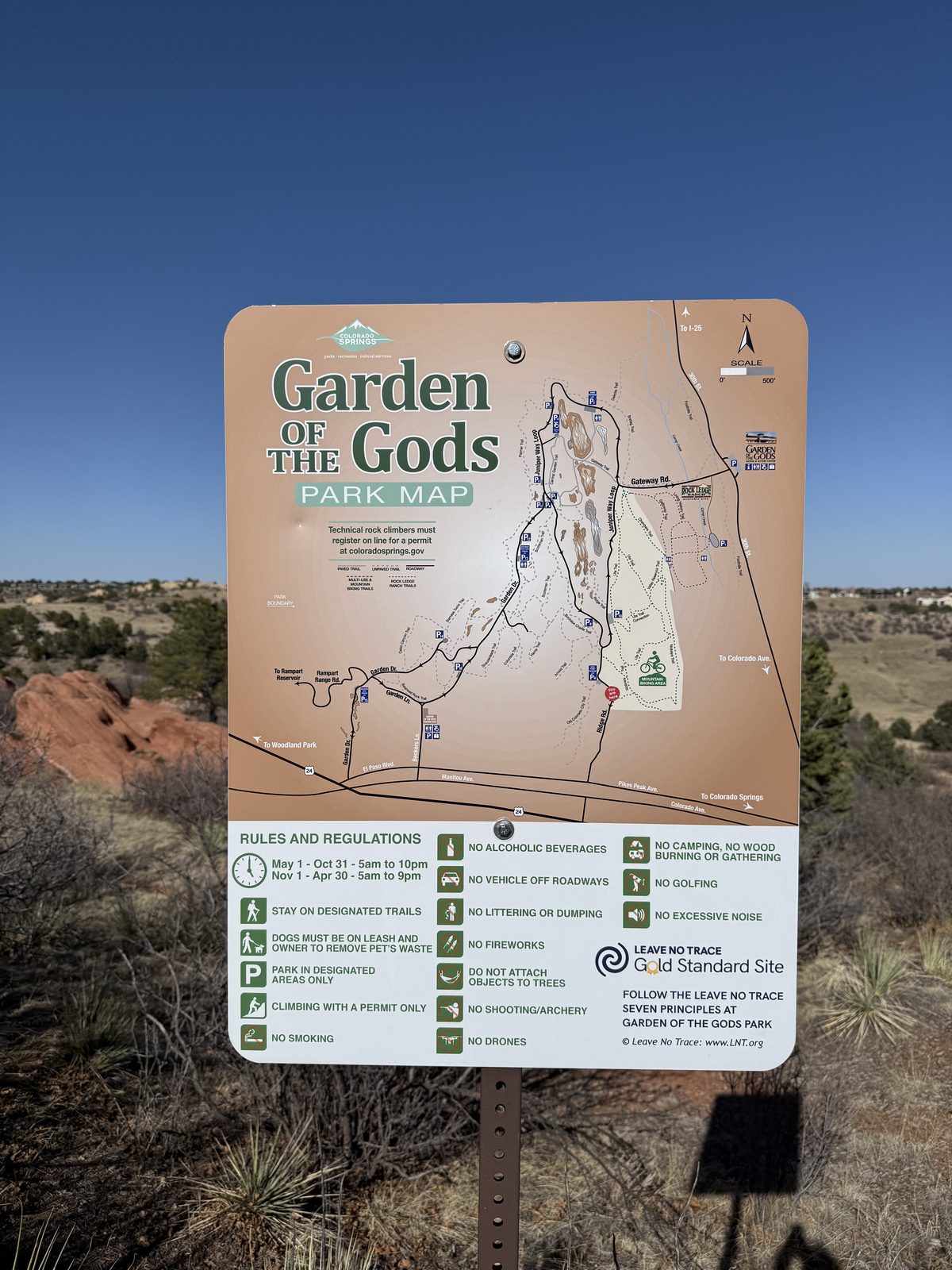
Last stop of a long day, and the one that photographs itself. Garden of the Gods is a set of red sandstone fins tipped almost vertical by the same mountain-building that raised the range behind them — beds that were laid down flat and then stood on end. Charles Elliott Perkins bought the land, never developed it, and his children gave it to the City of Colorado Springs in 1909 on the condition that it stay free to the public forever. It has.
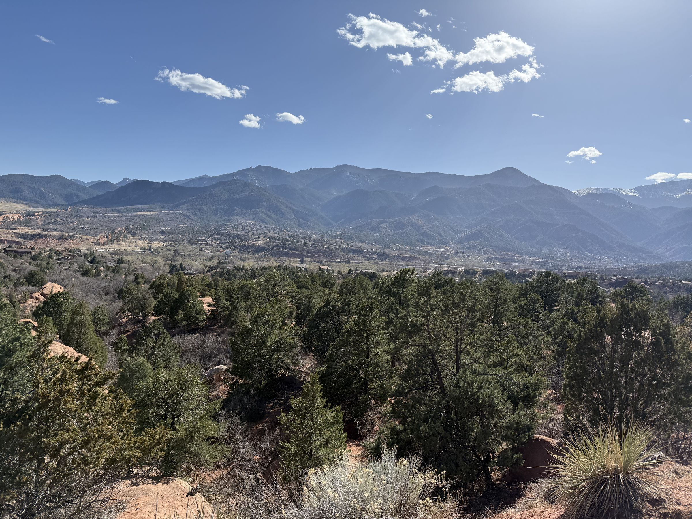
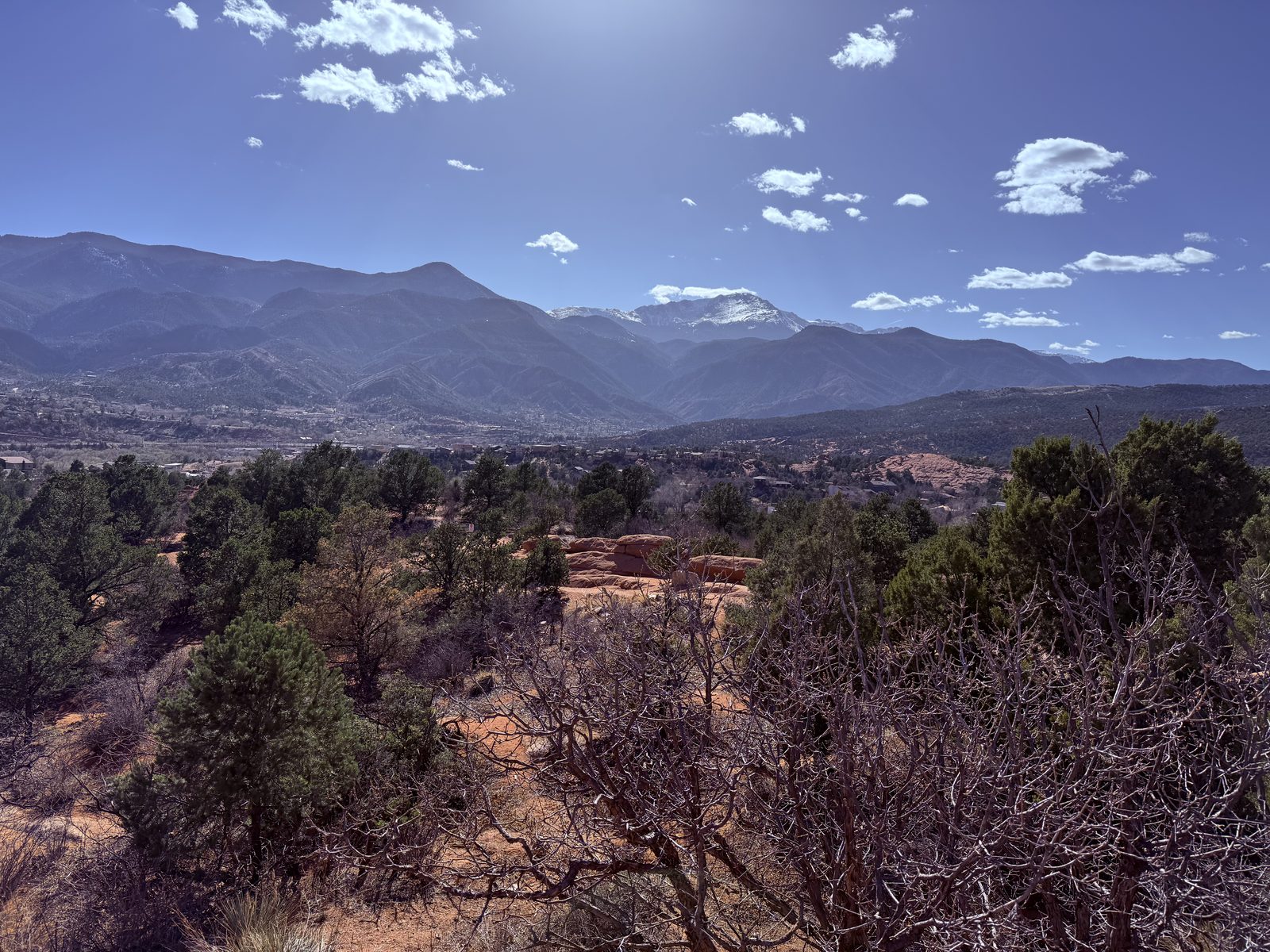
Late afternoon is the right time. The rock goes from orange to something closer to blood, the Front Range stacks up blue behind it, and Pikes Peak sits over the whole arrangement with snow still on top.
The Best Parking of My Life
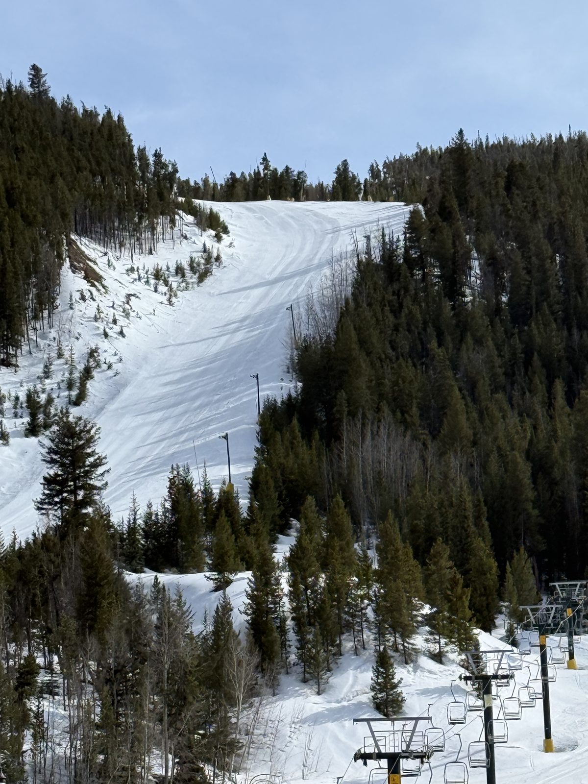
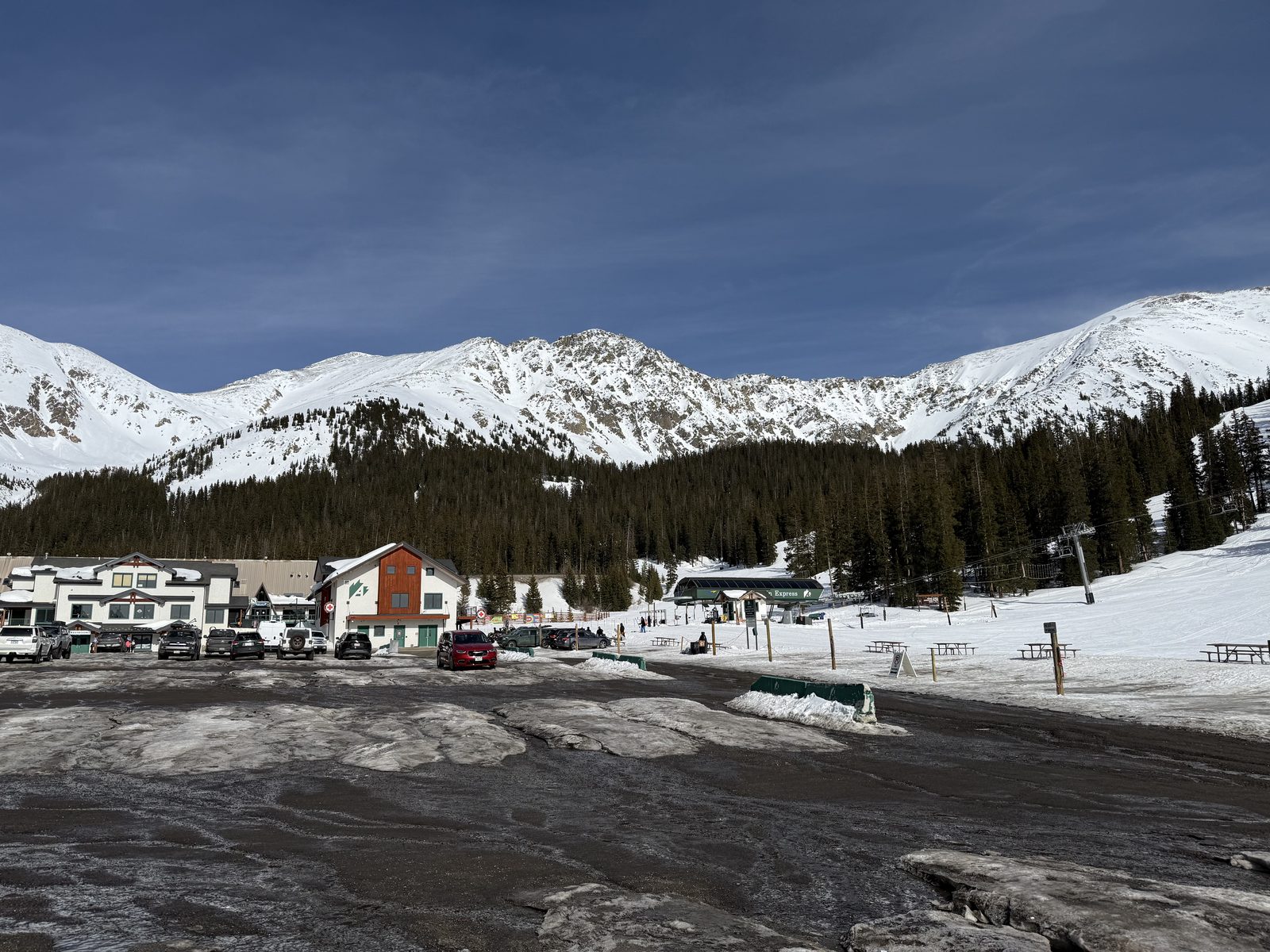
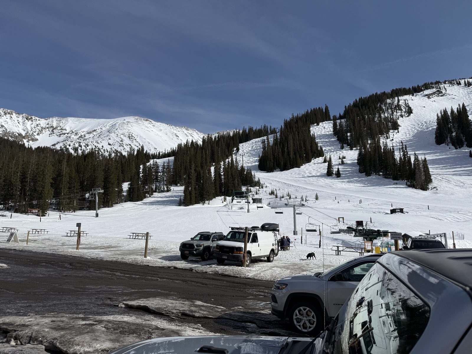
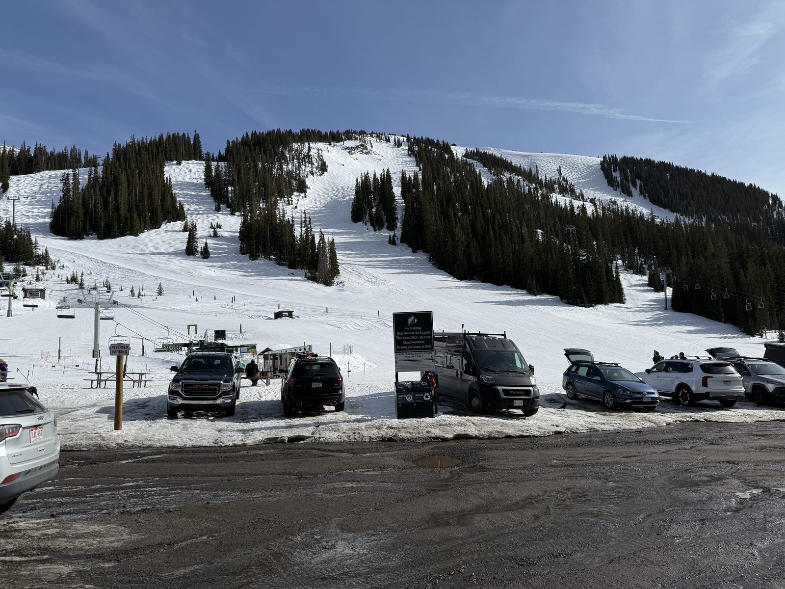
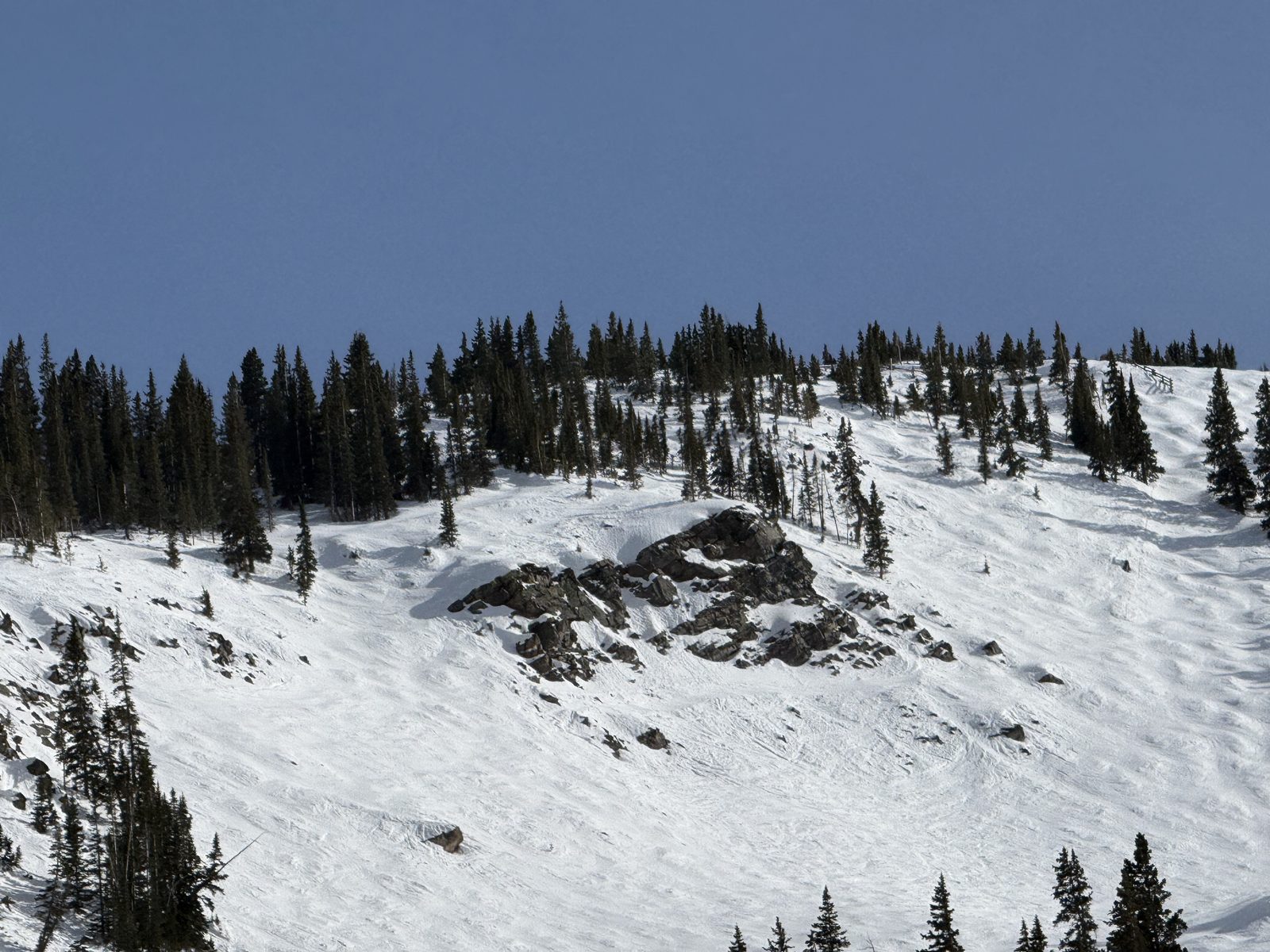
Back to Denver and time to hit the slopes. A-Basin and Loveland are the diehards — the two that keep spinning lifts long after the rest of the state has given up and moved on to mud season. There was plenty of snow up high and it was really slushy further down, which is exactly the deal you make with April.
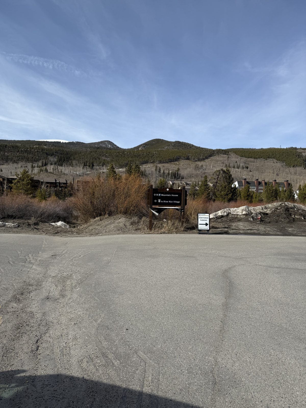
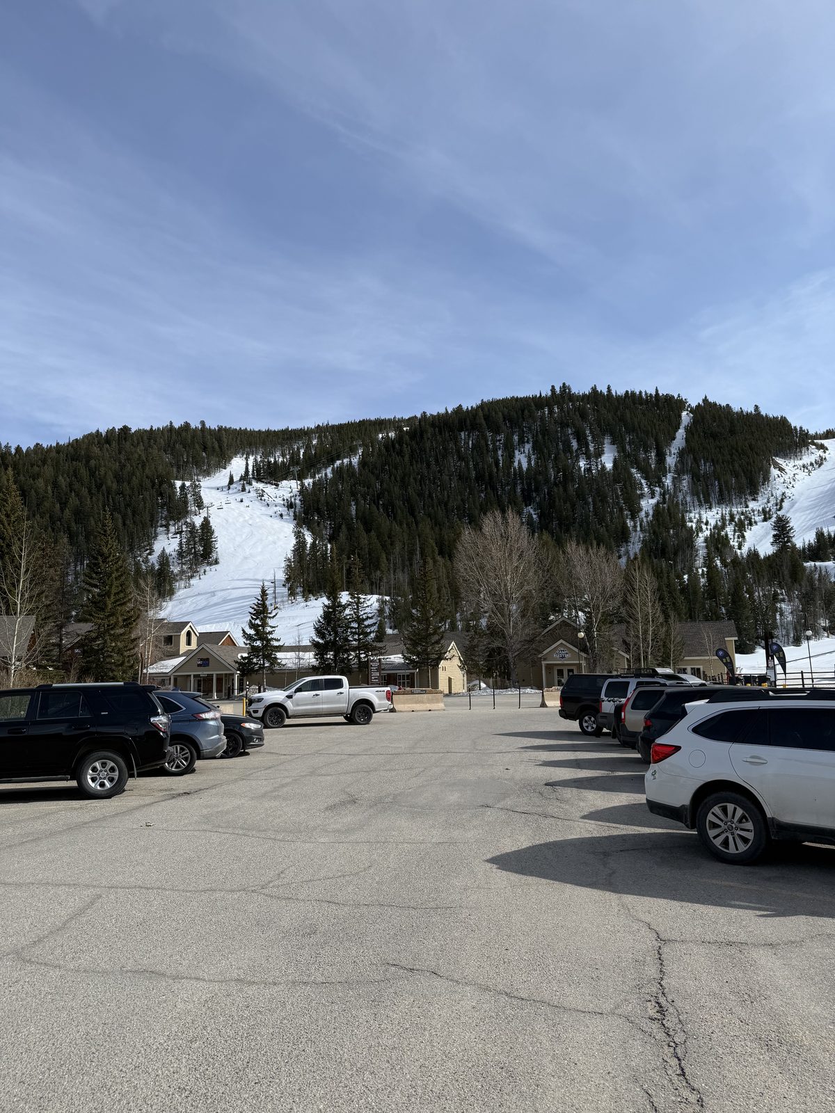
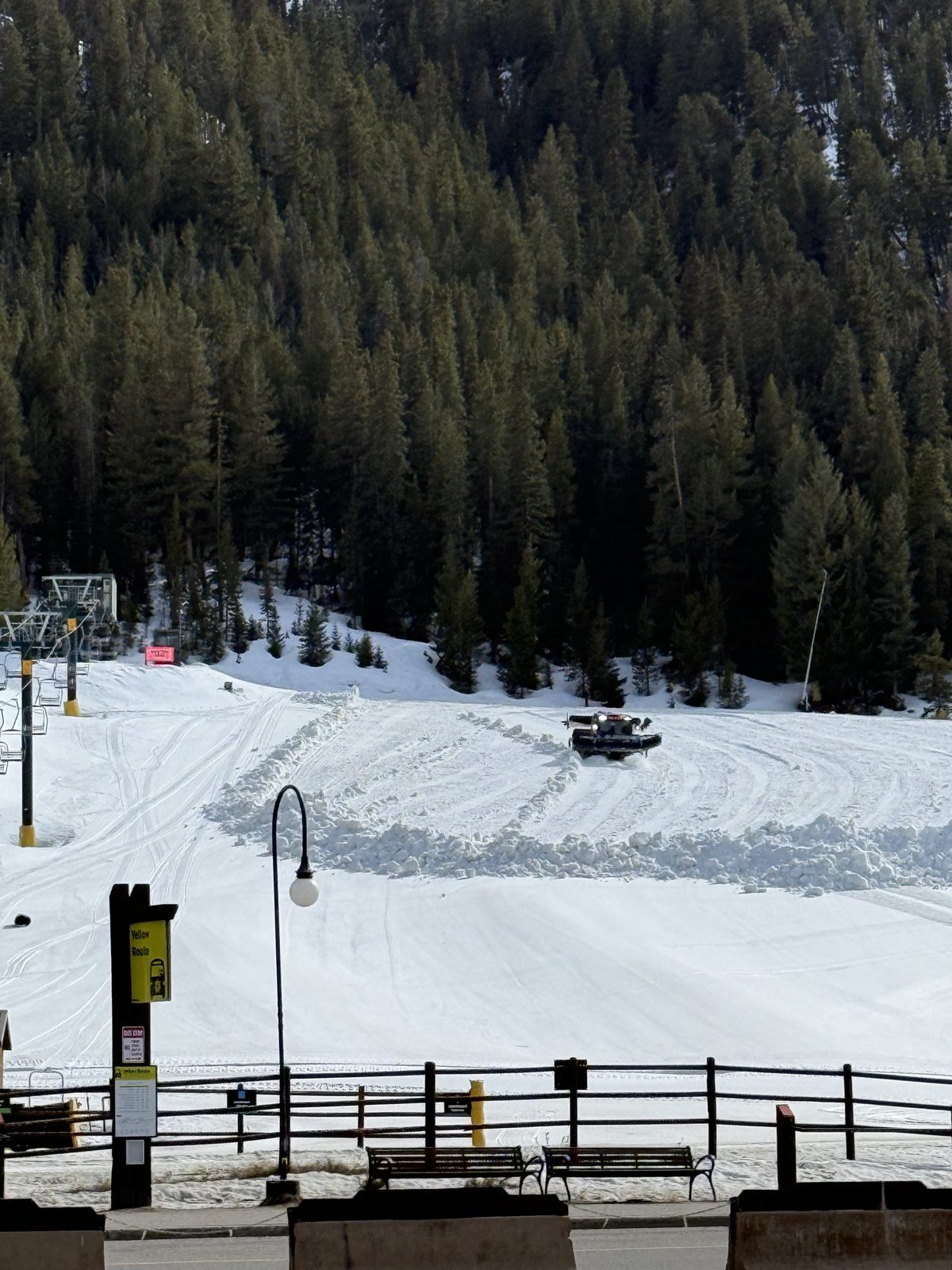
And for the first time in my life I parked this close to the lifts. No shuttle, no hike from an overflow lot, no six a.m. alarm to beat somebody to a spot — just pull in, boot up on the tailgate, and walk twenty steps to the chair. I feel like royalty now.
A few quick runs and I was ready for the hot tubs. I wanted to head into Breckenridge but stayed in Keystone instead — which, it turns out, was the right call.